1905 Map of Laramie
USGS Topo · Published 1905About this map
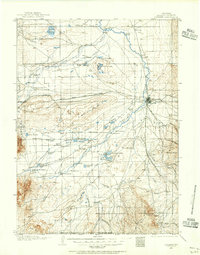
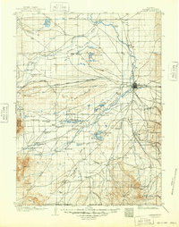
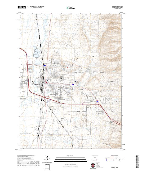
Laramie serves as the central hub for this high-plains landscape in 1905, where the Union Pacific Railroad dictates the movement of people and industry across Albany County. The rail line connects small settlements such as Red Buttes, Satanka, and Colores as it heads south toward the Wyoming Colorado Boundary Line. This era of early development is characterized by extensive water management and extraction, evidenced by the Pioneer Ditch and the Union Pacific Soda Lakes. Large topographic features like The Big Hollow and the Big Basin dominate the interior, while the Laramie River and Little Laramie River provide vital irrigation for ranching outposts like Mandel. Notable landmarks include a Fish Hatchery and several lakes, such as Lake Hattie and Hutton Lakes, illustrating how the arid terrain was being actively utilized for both conservation and commerce.
Find a feature on this map
60 named features on this map. Tap any name to fly to it.
Don’t see what you’re looking for? This feature index may not catch every label — zoom into the map to look around manually.
Map Details
Editions of this 1905 Laramie Map
This is the sole edition of this map. No revisions or reprints were ever made.
Historical Maps of Laramie Through Time
8 maps found