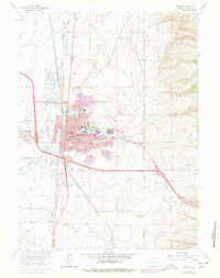
1963 Map of Laramie
USGS Topo · Published 1978About this map
The University of Wyoming anchor the center of this high-plains city, where urban expansion in the late 1970s is clearly visible through purple-tinted photo-revisions. The Laramie River and the main line of the Union Pacific railroad define the western corridor, supporting heavy industry such as the Cement Plant and Shale Aggregate Plant south of town. This survey documents a critical period of growth, capturing new residential developments east of Corthell Road while preserving the location of the historic Pt Sanders (Site). Local educational and civic infrastructure is well-represented, from the Lincoln Sch to the National Guard Armory, alongside leisure sites like the Laramie Country Club and Washington Park. To the east, the terrain rises into the foothills toward Telephone Canyon, while the north is marked by agricultural water management through the Pioneer Canal.
Find a feature on this map
58 named features on this map. Tap any name to fly to it.
Don’t see what you’re looking for? This feature index may not catch every label — zoom into the map to look around manually.
Map Details
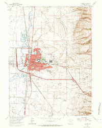
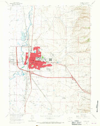
Editions of this 1963 Laramie Map
3 editions found
Other maps of this area

1895 · Laramie
USGS Topo · 1:125,000

1902 · Laramie
USGS Topo · 1:125,000

1905 · Sherman
USGS Topo · 1:125,000

1905 · Laramie
USGS Topo · 1:125,000

1906 · Laramie
USGS Topo · 1:125,000

1908 · Laramie
USGS Topo · 1:125,000

1948 · Sherman Mountains
USGS Topo · 1:62,500

1948 · Ragged Top Mountain
USGS Topo · 1:62,500

1950 · Ragged Top Mountain
USGS Topo · 1:62,500

1950 · Sherman Mountains
USGS Topo · 1:62,500