
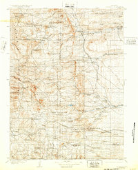
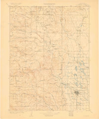
1895 Map of Laramie
USGS Topo · Published 1895About this map
Laramie sits at the heart of this 1890s survey, established as a critical hub along the Union Pacific R. R. mainline. The settlement pattern reveals an era of early Wyoming development, where isolated outposts like Sartoris Ranch and Bacons Ranch dot the landscape between the Little Laramie River and the Laramie River. Significant early infrastructure is visible, including the Penitentiary and the territorial-era Ft. Sanders. The map illustrates a transitional landscape where high-plains ranching meets emerging industrial and institutional growth. Beyond the rails, landmarks such as Jelm Mt. and the Sheep Mts. define the western horizon, while the Fish Hatchery and local school locations like Red Buttes (Leuh) provide specific points of interest for those tracing the social geography of Albany County before the turn of the century.
Find a feature on this map
45 named features on this map. Tap any name to fly to it.
Don’t see what you’re looking for? This feature index may not catch every label — zoom into the map to look around manually.
Map Details
Editions of this 1895 Laramie Map
This is the sole edition of this map. No revisions or reprints were ever made.
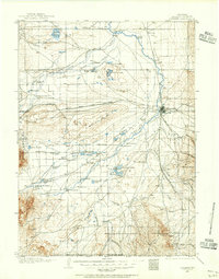
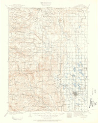
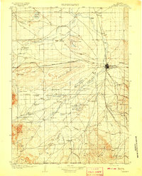
Other maps of this area

1902 · Laramie
USGS Topo · 1:125,000
1905 · Sherman
USGS Topo · 1:125,000

1905 · Laramie
USGS Topo · 1:125,000

1906 · Medicine Bow
USGS Topo · 1:125,000
1906 · Laramie
USGS Topo · 1:125,000
1907 · Livermore
USGS Topo · 1:125,000
1908 · Laramie
USGS Topo · 1:125,000

1908 · Medicine Bow
USGS Topo · 1:125,000
1909 · Livermore
USGS Topo · 1:125,000
1916 · Home
USGS Topo · 1:125,000