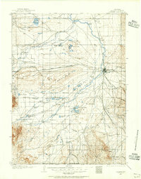
1906 Map of Laramie
USGS Topo · Published 1956About this map
Laramie serves as the focal point for this early 20th-century landscape, where the Union Pacific Railroad cuts a north-south path through the high plains. The map illustrates a ranching economy defined by family-named holdings like Alsop's Ranch, Coughlin's Ranch, and Nelson's Road Ranch scattered along the Little Laramie River and Laramie River systems. Geologic features such as the massive depression of The Big Hollow and the Big Basin dominate the central terrain.
Find a feature on this map
81 named features on this map. Tap any name to fly to it.
Don’t see what you’re looking for? This feature index may not catch every label — zoom into the map to look around manually.
Map Details
Editions of this 1906 Laramie Map
This is the sole edition of this map. No revisions or reprints were ever made.
Historical Maps of Laramie Through Time
11 maps found

1895 Laramie
Albany County, WY

1902 Laramie
Albany County, WY

1905 Laramie
Albany County, WY
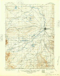
1906 Laramie
Albany County, WY
1908 Laramie
Albany County, WY
1963 Laramie
Albany County, WY
1981 Laramie
Albany County, WY
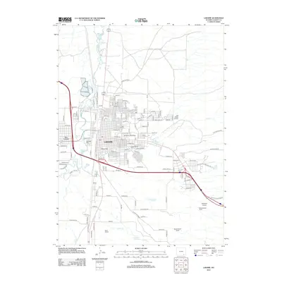
2012 Laramie
Albany County, WY
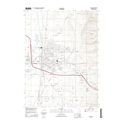
2015 Laramie
Albany County, WY
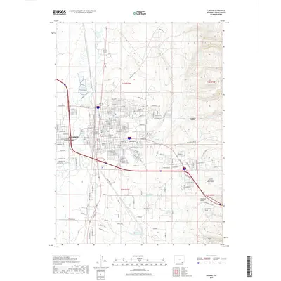
2017 Laramie
Albany County, WY
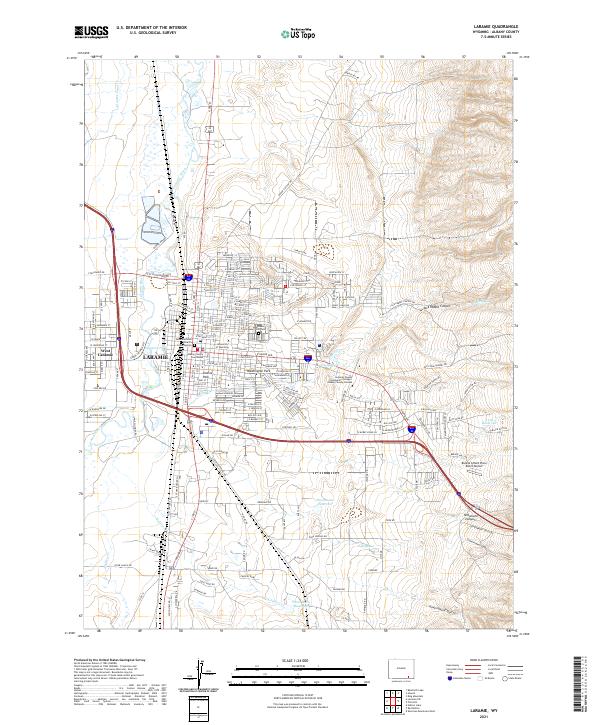
2021 Laramie
Albany County, WY