1902 Map of Laramie
USGS Topo · Published 1902About this map
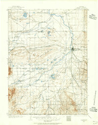
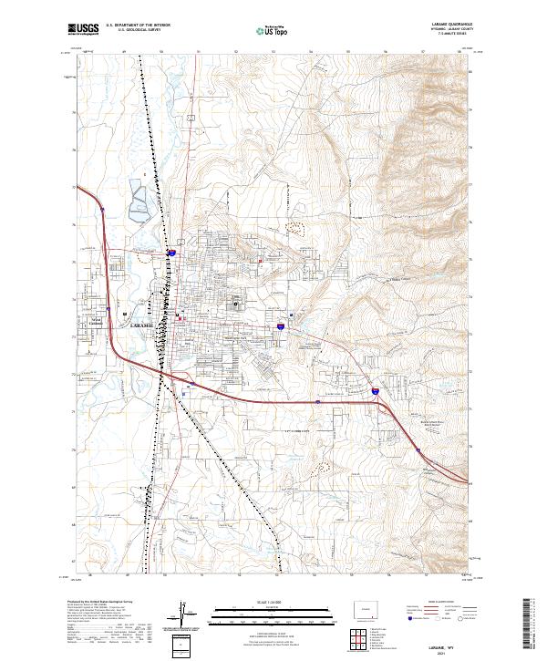
Laramie serves as the focal point for this early 20th-century survey of the high plains, situated at the crossroads of the Union Pacific R. R. and the winding Little Laramie River. The map reveals a frontier landscape transitioning from military outposts like Ft. Sanders to a burgeoning ranching and transport economy. A network of family-named settlements and operations, such as Sartoris Ranch, Homers Ranch, and Bacons Ranch, indicates the importance of livestock and land claims during this era of western expansion.
Find a feature on this map
52 named features on this map. Tap any name to fly to it.
Don’t see what you’re looking for? This feature index may not catch every label — zoom into the map to look around manually.
Map Details
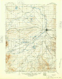
Editions of this 1902 Laramie Map
This is the sole edition of this map. No revisions or reprints were ever made.
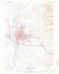
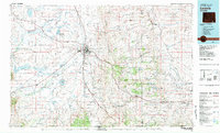
Historical Maps of Laramie Through Time
8 maps found