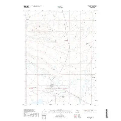
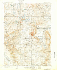
1908 Map of Medicine Bow
USGS Topo · Published 1908About this map
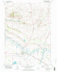
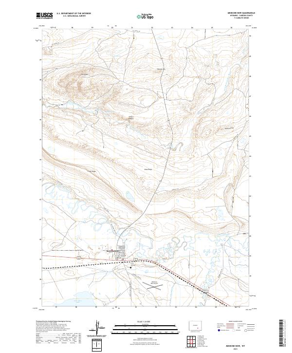
Centennial serves as a focal point in this high-altitude survey of the Medicine Bow Range, where the industrial push of the Laramie Hanns Peak and Pacific RR meets a landscape defined by ranching and resource extraction. The map reveals a rugged economy at the turn of the century, evidenced by Webbers Sawmill and remote operations like the White Swan Mine and American Mine. Family-named homesteads are scattered across the peaks and valleys, including the Stillson Ranch, Logan-Grisley Ranch, and McNealey Ranch, tracing the early settlement patterns of the Carbon and Albany county borderlands. The terrain is dominated by landmarks such as Medicine Bow Peak and Sheep Mountain, with numerous forks of the West Fork Medicine Bow River and Little Laramie River providing the essential water for the region's cattle and timber industries.
Find a feature on this map
102 named features on this map. Tap any name to fly to it.
Don’t see what you’re looking for? This feature index may not catch every label — zoom into the map to look around manually.
Map Details
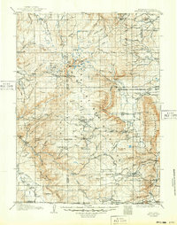
Editions of this 1908 Medicine Bow Map
3 editions found
Historical Maps of Centennial Through Time
8 maps found