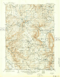
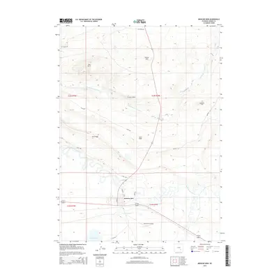
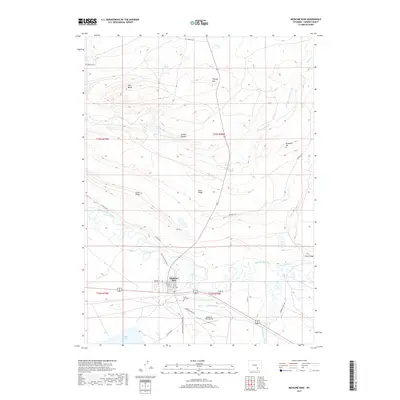
1906 Map of Medicine Bow
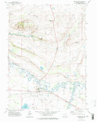
USGS Topo · Published 1955About this map
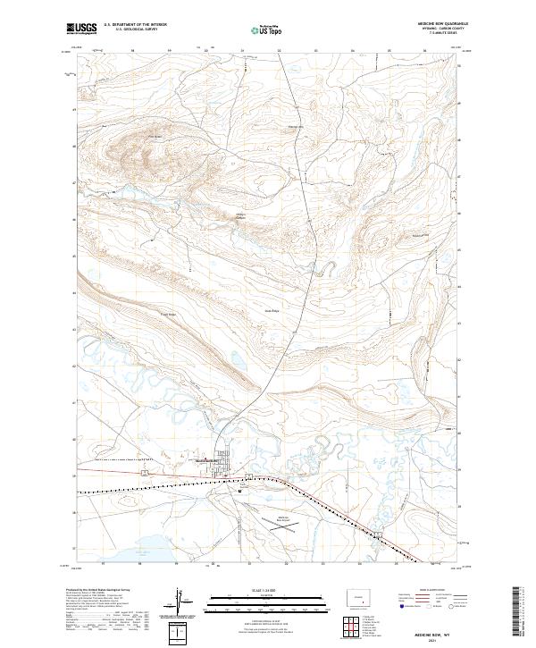
Gold Hill and the early mining camps of the Medicine Bow Mountains define this high-altitude landscape during the first decade of the 1900s. The survey illustrates a region in transition, where extraction industries like the White Swan Mine and Webbers Sawmill operate alongside a network of established cattle operations, including the Stillson Ranch and Logan-Grisley Ranch. The presence of the Laramie Hahns Peak and Pacific RR along the Laramie River signals the arrival of heavy infrastructure intended to tap the timber and mineral wealth of the range.
Find a feature on this map
97 named features on this map. Tap any name to fly to it.
Don’t see what you’re looking for? This feature index may not catch every label — zoom into the map to look around manually.
Map Details
Editions of this 1906 Medicine Bow Map
This is the sole edition of this map. No revisions or reprints were ever made.
Historical Maps of Centennial Through Time
8 maps found