
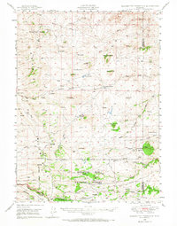
1948 Map of Ragged Top Mountain
USGS Topo · Published 1965About this map
King Brothers Ranch and Coles Ranch anchor a landscape of high-altitude livestock operations in the Laramie Range during the late 1940s. The map illustrates a transitional zone where ranching heritage meets federal land management, evidenced by the large Pole Mountain Military Reservation and the Medicine Bow National Forest. Notable for genealogists and local historians are the numerous family-named outposts like the Warren Livestock Summer Camp and McKechnie Ranch, which provide a record of specific land use and habitation in this corner of Albany County.
Find a feature on this map
51 named features on this map. Tap any name to fly to it.
Don’t see what you’re looking for? This feature index may not catch every label — zoom into the map to look around manually.
Map Details
Editions of this 1948 Ragged Top Mountain Map
2 editions found
Other maps of this area

1895 · Laramie
USGS Topo · 1:125,000

1902 · Laramie
USGS Topo · 1:125,000

1905 · Sherman
USGS Topo · 1:125,000

1905 · Laramie
USGS Topo · 1:125,000

1906 · Laramie
USGS Topo · 1:125,000

1908 · Laramie
USGS Topo · 1:125,000

1948 · Sherman Mountains
USGS Topo · 1:62,500

1950 · Ragged Top Mountain
USGS Topo · 1:62,500

1950 · Sherman Mountains
USGS Topo · 1:62,500

1954 · Cheyenne
USGS Topo · 1:250,000