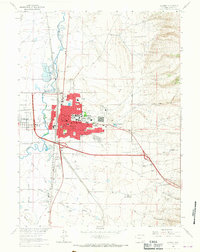
1963 Map of Laramie
USGS Topo · Published 1967About this map
Laramie sits at a crossroads of education and industry in the Laramie Valley, centered around the sprawling campus of the University of Wyoming. This mid-century survey reveals the city’s complex infrastructure, from the Union Pacific rail lines and the winding Laramie River to specialized industrial sites like the Cement Plant and Shale Aggregate Plant south of town. The map provides a remarkable level of detail for local historians, identifying numerous neighborhood landmarks such as St Lawrence Sch, Beitel Sch, and Nellie Iles Sch. To the south, the historic location of Ft Sanders (Site) near Spring Creek serves as a reminder of the area's frontier military origins, while Howe Airfield and the Radio Tower (KLME) represent the modernization of the high plains landscape.
Find a feature on this map
49 named features on this map. Tap any name to fly to it.
Don’t see what you’re looking for? This feature index may not catch every label — zoom into the map to look around manually.
Map Details
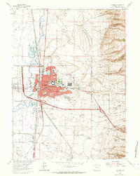
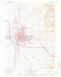
Editions of this 1963 Laramie Map
3 editions found
Other maps of this area

1895 · Laramie
USGS Topo · 1:125,000

1902 · Laramie
USGS Topo · 1:125,000

1905 · Sherman
USGS Topo · 1:125,000

1905 · Laramie
USGS Topo · 1:125,000

1906 · Laramie
USGS Topo · 1:125,000

1908 · Laramie
USGS Topo · 1:125,000

1948 · Sherman Mountains
USGS Topo · 1:62,500

1948 · Ragged Top Mountain
USGS Topo · 1:62,500

1950 · Ragged Top Mountain
USGS Topo · 1:62,500

1950 · Sherman Mountains
USGS Topo · 1:62,500