Old Maps of Cheyenne, Wyoming
Explore 31 old maps of Cheyenne, spanning from 1911 to today. These high-resolution historic maps reveal how streets, neighborhoods, landmarks, and natural features evolved over time — perfect for genealogy, metal detecting, research, and local history exploration.
What you can do with these maps:
- See how Cheyenne changed over time: Compare historical maps to modern-day views to trace roads, homesites, rail lines & more.
- View detailed metadata: Each map includes creators, publishers, year, scale, and archive source.
- Overlay maps with satellite & LiDAR: Visualize the past alongside modern tools to explore terrain & human change.
- Trusted historical sources: Maps sourced from the USGS, Library of Congress, and other archives.
- Access maps your way: View online, download high-res files, or order prints for personal or research use.
Start exploring old maps of Cheyenne to uncover forgotten places, hidden landmarks, and the deep history beneath your feet.
Cheyenne, WY maps
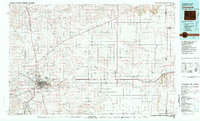
(31)- 1911 Map of Cheyenne, 1961 Print
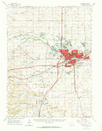
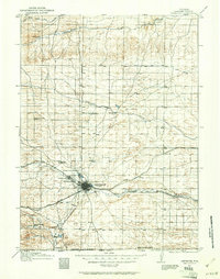 1911 Cheyenne1961 Print · USGSCheyenne was a bustling rail and military center in the years before the Great War. Genealogists and historians can trace the footprint of Fort D.A. Russell and find early rural sites like Campstool and Paola.
 - 1914 Map of Cheyenne
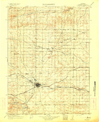 1914 Cheyenne1914 Print · USGSCheyenne stands at the crossroads of three major railroads in the years before the Great War. Researchers can trace the layout of the Fort D.A. Russell Military Reservation and find local landmarks like Ridley School and Campstool.3 unique versions available
 - 1950 Map of Cheyenne
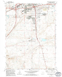
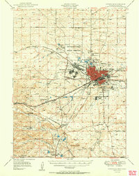 1950 Cheyenne1950 Print · USGSCheyenne and its surrounding high plains are captured here during a period of post-war expansion and military prominence. Researchers can trace the layout of the Fort Francis E Warren Military Reservation or locate family ranch sites like Rees Brothers Ranch and Diamond Camp.
 - 1954 Map of Cheyenne, 1963 Print
 1954 Cheyenne1963 Print · USGSSoutheastern Wyoming's high plains and the capital city's mid-century expansion are documented here during the early Cold War. Genealogists and historians can trace rail-aligned settlements like Pine Bluffs and Hillsdale, or explore landmarks like the Ames Monument and Francis E. Warren Air Force Base.3 unique versions available
 - 1958 Map of Cheyenne
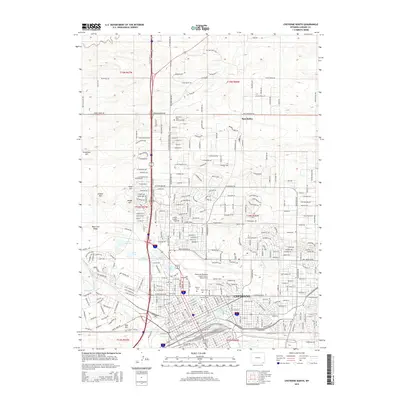
 1958 Cheyenne1958 Print · USGSSoutheast Wyoming and the Nebraska border appear in the late 1950s as a hub of military defense and rail commerce. Genealogists can trace the Union Pacific through Cheyenne or locate the Horse Creek Oil Field and the State Capitol.2 unique versions available
 - 1961 Map of Cheyenne South, 1963 Print
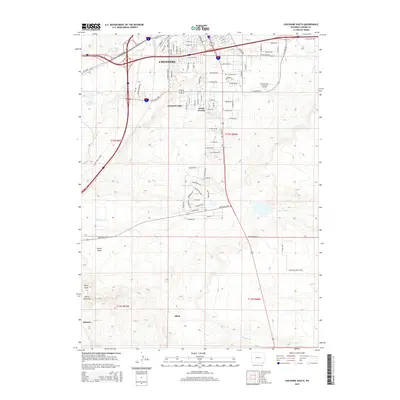
 1961 Cheyenne South1963 Print · USGSThe southern outskirts of Cheyenne in the early sixties reveal a landscape of emerging neighborhoods and essential rail hubs. Genealogists and historians can trace the foundations of Orchard Valley and locate landmarks like the Full Gospel Tabernacle and Intermountain Speedway.3 unique versions available
 - 1961 Map of Cheyenne, 1964 Print
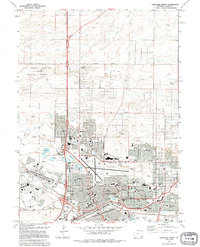
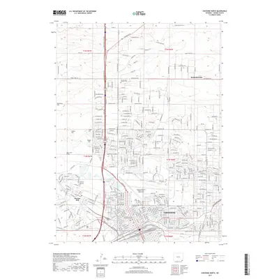
 1961 Cheyenne1964 Print · USGSCheyenne and its surrounding high plains are captured here in the early sixties, showing a period of significant military and rail infrastructure. Genealogists and historians can locate old landmarks like Lakeview Cem, the USDA Horticultural Field Station, and early settlements such as Borie and Speer.
 - 1961 Map of Cheyenne North, 1964 Print
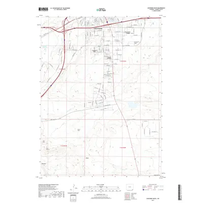
 1961 Cheyenne North1964 Print · USGSCheyenne expanded north across the high plains in the early sixties as military and aviation infrastructure matured. Genealogists and historians can trace neighborhood growth through dozens of local schools and churches, from St Marys Sch to the Beth El Cem.3 unique versions available
 - 1963 Map of Archer, 1967 Print
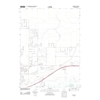
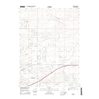
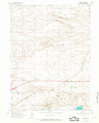 1963 Archer1967 Print · USGSEast of Cheyenne in the early 1960s, this area reflects the intersection of cattle ranching and modern rail infrastructure. Researchers can locate the Wyoming Hereford Ranch, the Dildine Sch, and the Univ of Wyoming Experimental Station along the Union Pacific line.2 unique versions available
 - 1963 Map of Altvan, 1978 Print
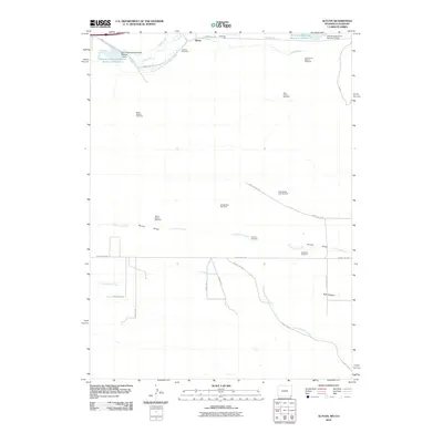
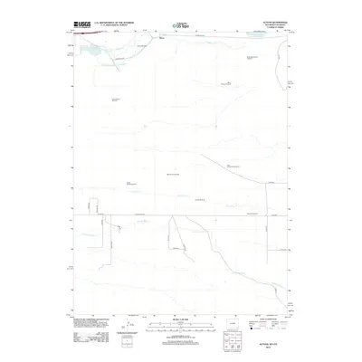
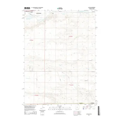
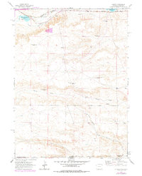 1963 Altvan1978 Print · USGSThe Wyoming and Colorado borderlands in the early sixties reveal a complex landscape of ranching and water rights. Researchers can trace historical property boundaries and livestock infrastructure through Altvan and along the Burlington Northern line, identifying named landmarks like the Century Windmill and Stewart DITCH.
 - 1981 Map of Cheyenne
 1981 Cheyenne1981 Print · USGSCheyenne and the surrounding high plains are captured here in the early eighties, showcasing the intersection of major rail lines and interstate highways. Genealogists and historians can trace the development of outlying ranching communities like Carpenter, Arcola, and the border town of Pine Bluffs.2 unique versions available
 - 1994 Map of Cheyenne South
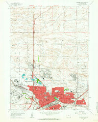
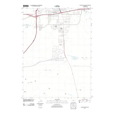
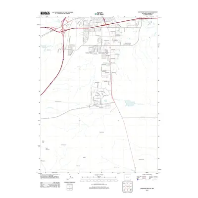
 1994 Cheyenne South1994 Print · USGSCheyenne and its southern suburbs are captured in the mid-1990s as the city expanded toward the Colorado line. Genealogists and historians can locate Orchard Valley, the Athol Camp, and numerous local landmarks like Goins Sch and the Intermountain Speedway.2 unique versions available
 - 1994 Map of Cheyenne North
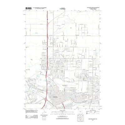
 1994 Cheyenne North1994 Print · USGSNorth Cheyenne in the mid-nineties shows the city's steady expansion toward the high plains. Researchers can trace the layout of Francis E Warren Air Force Base and locate community landmarks like Frontier Park (Rodeo Ground) and Sloan Lake.
 - 2010 Map of Altvan, 2010 Print
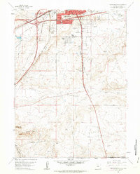
 2010 Altvan2010 Print · USGSCovers Cheyenne, including Altvan, Weld County, and other nearby areas
 - 2010 Map of Cheyenne South, 2010 Print
 2010 Cheyenne South2010 Print · USGSCovers Cheyenne, including South Greeley, Fox Farm–College, and other nearby areas
 - 2012 Map of Cheyenne North, 2012 Print
 2012 Cheyenne North2012 Print · USGSCovers Cheyenne, including Ranchettes, Warren Air Force Base, and other nearby areas
 - 2012 Map of Archer, 2012 Print
 2012 Archer2012 Print · USGSCovers Cheyenne, including Laramie County, United States, and other nearby areas
 - 2012 Map of Cheyenne South, 2012 Print
 2012 Cheyenne South2012 Print · USGSCovers Cheyenne, including South Greeley, Fox Farm–College, and other nearby areas
 - 2012 Map of Altvan, 2012 Print
 2012 Altvan2012 Print · USGSCovers Cheyenne, including Altvan, Weld County, and other nearby areas
 - 2015 Map of Archer, 2015 Print
 2015 Archer2015 Print · USGSCovers Cheyenne, including Laramie County, United States, and other nearby areas
 - 2015 Map of Cheyenne North, 2015 Print
 2015 Cheyenne North2015 Print · USGSCovers Cheyenne, including Ranchettes, Warren Air Force Base, and other nearby areas
 - 2015 Map of Altvan, 2015 Print
 2015 Altvan2015 Print · USGSCovers Cheyenne, including Altvan, Weld County, and other nearby areas
 - 2015 Map of Cheyenne South, 2015 Print
 2015 Cheyenne South2015 Print · USGSCovers Cheyenne, including South Greeley, Fox Farm–College, and other nearby areas
 - 2017 Map of Cheyenne North, 2017 Print
 2017 Cheyenne North2017 Print · USGSCovers Cheyenne, including Ranchettes, Warren Air Force Base, and other nearby areas
 - 2017 Map of Cheyenne South, 2017 Print
 2017 Cheyenne South2017 Print · USGSCovers Cheyenne, including South Greeley, Fox Farm–College, and other nearby areas
Showing maps 1-25 of 31
Top cities near Cheyenne
- Ranchettes historical maps
- South Greeley historical maps
- Fox Farm–College historical maps
- Warren Air Force Base historical maps
Frequently asked questions
- What are the different types of historical maps available for Cheyenne?
- What is the oldest map of Cheyenne?
- Where can I purchase historical maps of Cheyenne for my home or office?
- Where can I download high-res historical maps of Cheyenne?
- Are there historical topographic maps available for Cheyenne?
- Is there historical aerial imagery available for Cheyenne?
- Where are historical maps of Cheyenne sourced from?