2000s (21st Century) Maps of Cheyenne, Wyoming
Explore 18 historic maps of Cheyenne from the 2000s (21st Century). These maps offer a rare glimpse into what life looked like during the 2000s — showing old roads, neighborhoods, homes, and landmarks that have changed or disappeared over time.
Whether you're researching your family's past, planning a metal detecting trip, or studying how Cheyenne's landscape evolved across the 2000s, these high-resolution maps are a powerful tool for exploring the history of this region.
- Focus on a specific era: All maps on this page are from the 2000s, giving you a focused view of this time period.
- See what’s changed: Compare century-old streets, trails, and buildings to today's modern landscape using overlays and satellite layers.
- Research with precision: Use these maps for genealogy, historical research, land use analysis, or educational projects.
- View, download, or print: Maps are fully viewable online in high resolution, and can be downloaded or printed for your own records.
Start exploring Cheyenne's history through authentic maps from the 2000s. This is your window into the past.
Cheyenne, WY maps
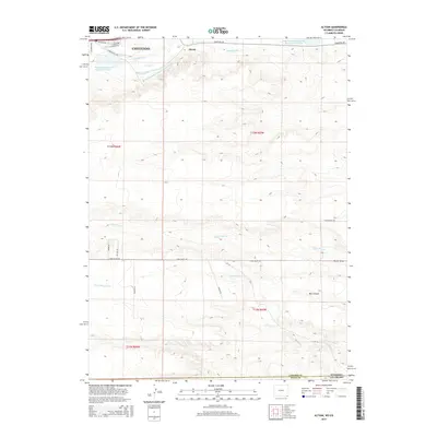
(18)- 2010 Map of Altvan, 2010 Print
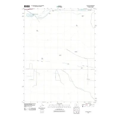 2010 Altvan2010 Print · USGSCovers Cheyenne, including Altvan, Weld County, and other nearby areas
 - 2010 Map of Cheyenne South, 2010 Print
 2010 Cheyenne South2010 Print · USGSCovers Cheyenne, including South Greeley, Fox Farm–College, and other nearby areas
 - 2012 Map of Cheyenne North, 2012 Print
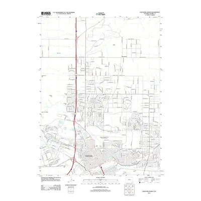 2012 Cheyenne North2012 Print · USGSCovers Cheyenne, including Ranchettes, Warren Air Force Base, and other nearby areas
 - 2012 Map of Archer, 2012 Print
 2012 Archer2012 Print · USGSCovers Cheyenne, including Laramie County, United States, and other nearby areas
 - 2012 Map of Cheyenne South, 2012 Print
 2012 Cheyenne South2012 Print · USGSCovers Cheyenne, including South Greeley, Fox Farm–College, and other nearby areas
 - 2012 Map of Altvan, 2012 Print
 2012 Altvan2012 Print · USGSCovers Cheyenne, including Altvan, Weld County, and other nearby areas
 - 2015 Map of Archer, 2015 Print
 2015 Archer2015 Print · USGSCovers Cheyenne, including Laramie County, United States, and other nearby areas
 - 2015 Map of Cheyenne North, 2015 Print
 2015 Cheyenne North2015 Print · USGSCovers Cheyenne, including Ranchettes, Warren Air Force Base, and other nearby areas
 - 2015 Map of Altvan, 2015 Print
 2015 Altvan2015 Print · USGSCovers Cheyenne, including Altvan, Weld County, and other nearby areas
 - 2015 Map of Cheyenne South, 2015 Print
 2015 Cheyenne South2015 Print · USGSCovers Cheyenne, including South Greeley, Fox Farm–College, and other nearby areas
 - 2017 Map of Cheyenne North, 2017 Print
 2017 Cheyenne North2017 Print · USGSCovers Cheyenne, including Ranchettes, Warren Air Force Base, and other nearby areas
 - 2017 Map of Cheyenne South, 2017 Print
 2017 Cheyenne South2017 Print · USGSCovers Cheyenne, including South Greeley, Fox Farm–College, and other nearby areas
 - 2017 Map of Altvan, 2017 Print
 2017 Altvan2017 Print · USGSCovers Cheyenne, including Altvan, Weld County, and other nearby areas
 - 2017 Map of Archer, 2017 Print
 2017 Archer2017 Print · USGSCovers Cheyenne, including Laramie County, United States, and other nearby areas
 - 2021 Map of Cheyenne South, 2021 Print
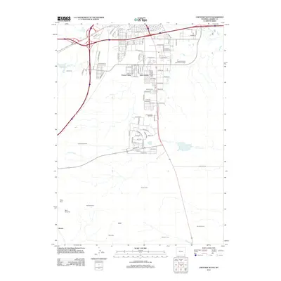
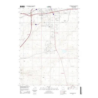
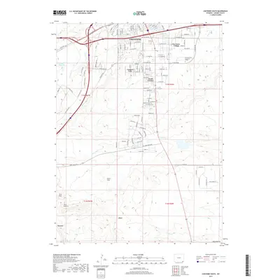
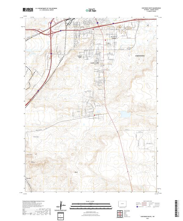 2021 Cheyenne South2021 Print · USGSThe southern fringes of the state capital take shape during this modern period as suburban growth meets the open Wyoming plains. Genealogists and local historians can trace the development of Orchard Valley, the campus of Laramie County Community College, and geological markers like Terry Peak.
 - 2021 Map of Altvan, 2021 Print
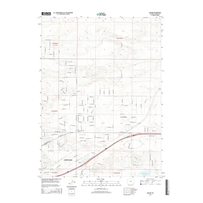
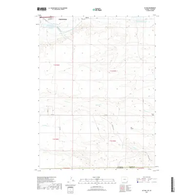
 2021 Altvan2021 Print · USGSThe high plains south of Cheyenne at the start of the 2020s reveal a landscape deeply shaped by historic irrigation and ranching. Trace the path of the Wyoming Hereford Ranch Ditch Number 1 or find landmarks like Altvan and Bull Canyon.
 - 2021 Map of Archer, 2021 Print
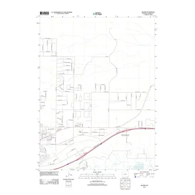
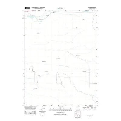
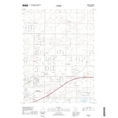
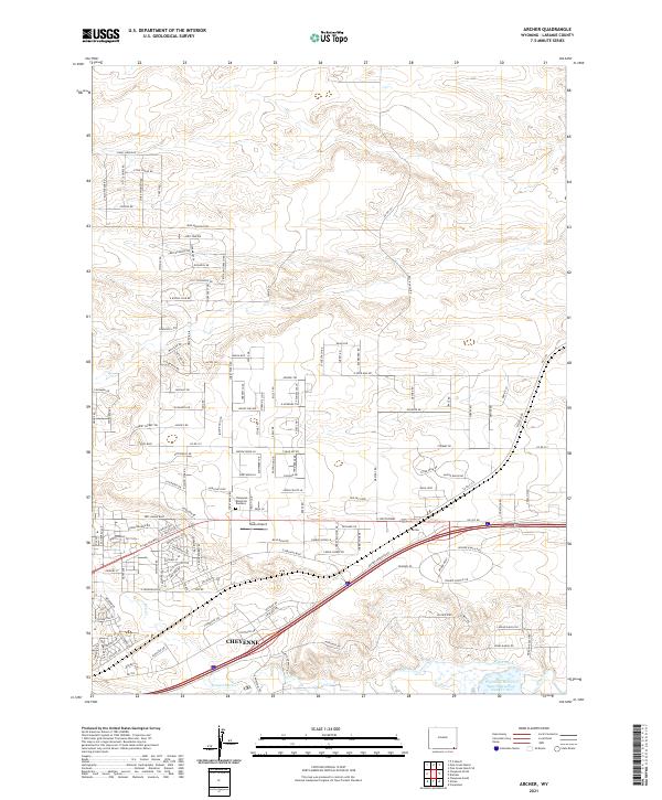 2021 Archer2021 Print · USGSEastern Wyoming at the height of its modern growth shows the expansion of Cheyenne into the surrounding ranchlands. Genealogists and local historians can trace the development of new neighborhoods near Sloan Airport and the historic Wyoming Hereford Ranch Reservoir Number Two.
 - 2021 Map of Cheyenne North, 2021 Print
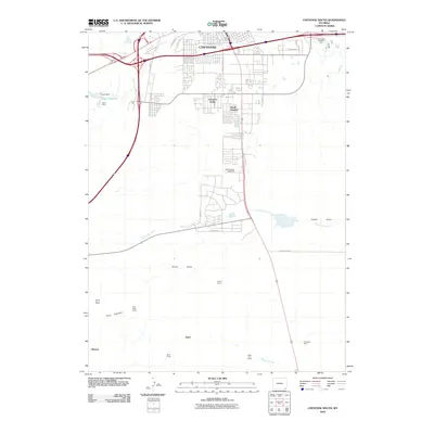
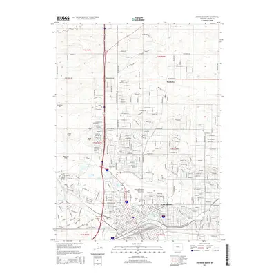
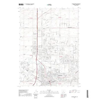
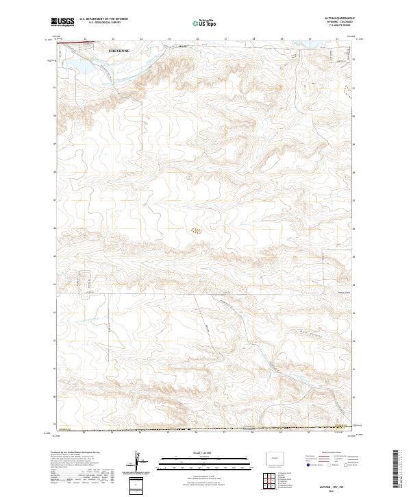
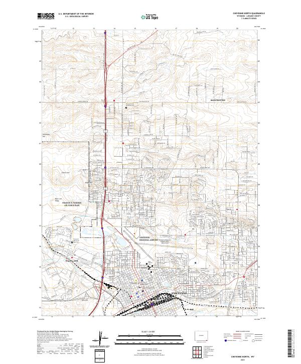 2021 Cheyenne North2021 Print · USGSCheyenne and the sprawling plains of Laramie County are seen here during their twenty-first-century growth. Researchers can trace the military and civic footprint of Warren AFB alongside several historic burial sites like Beth El Cem and Olivet Cem.
End of results
Showing maps 1-18 of 18
Top cities near Cheyenne
- Ranchettes historical maps
- South Greeley historical maps
- Fox Farm–College historical maps
- Warren Air Force Base historical maps
Frequently asked questions
- What are the different types of historical maps available for Cheyenne?
- What is the oldest map of Cheyenne?
- Where can I purchase historical maps of Cheyenne for my home or office?
- Where can I download high-res historical maps of Cheyenne?
- Are there historical topographic maps available for Cheyenne?
- Is there historical aerial imagery available for Cheyenne?
- Where are historical maps of Cheyenne sourced from?