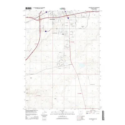
2015 Map of Cheyenne South
USGS Topo · Published 2015About this map
Cheyenne expansion south of the Interstate 80 and Interstate 25 interchange is the central theme of this 2015 survey, where suburban residential development meets the high plains. The transition from the urban grid to more rural land patterns is marked by established communities like Orchard Valley and South Greeley, alongside the campus of Laramie County Community College. Further south, the landscape opens into grazing land and ranching territory, defined by natural drainages such as Crow Cr, Little Crow Cr, and Simpson Cr. Geologic and topographic features such as Terry Peak and the Terry Anticline rise above the drainage of Porter Draw, providing distinct landmarks for the area. The map traces the corridor of Highway 85 as it heads toward the Colorado border, passing through smaller locales like Athol and Gleason.
Find a feature on this map
56 named features on this map. Tap any name to fly to it.
Don’t see what you’re looking for? This feature index may not catch every label — zoom into the map to look around manually.
Map Details
Editions of this 2015 Cheyenne South Map
This is the sole edition of this map. No revisions or reprints were ever made.
Other maps of this area

1908 · Eaton
USGS Topo · 1:125,000

1910 · Eaton
USGS Topo · 1:125,000

1911 · Cheyenne
USGS Topo · 1:125,000

1914 · Cheyenne
USGS Topo · 1:125,000

1950 · Cheyenne
USGS Topo · 1:62,500

1954 · Cheyenne
USGS Topo · 1:250,000

1954 · Greeley
USGS Topo · 1:250,000

1957 · Greeley
USGS Topo · 1:250,000

1958 · Cheyenne
USGS Topo · 1:250,000

1958 · Greeley
USGS Topo · 1:250,000