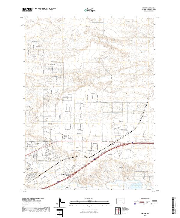
2021 Map of Archer
USGS Topo · Published 2021About this map
Cheyenne expands eastward in this modern survey, revealing a landscape defined by residential growth and long-standing water management systems. The southeastern corner of the map features the Wyoming Hereford Ranch Reservoir Number Two, a critical piece of the local agricultural and ranching infrastructure that has shaped Laramie County for generations. This intersection of urban and rural life is visible in the network of irrigation features like Stewart Ditch and Bollin Ditch that run alongside newer developments.
Find a feature on this map
155 named features on this map. Tap any name to fly to it.
Don’t see what you’re looking for? This feature index may not catch every label — zoom into the map to look around manually.
Map Details
Editions of this 2021 Archer Map
This is the sole edition of this map. No revisions or reprints were ever made.
Other maps of this area

1911 · Cheyenne
USGS Topo · 1:125,000

1914 · Cheyenne
USGS Topo · 1:125,000

1950 · Cheyenne
USGS Topo · 1:62,500

1954 · Cheyenne
USGS Topo · 1:250,000

1958 · Cheyenne
USGS Topo · 1:250,000

1961 · Cheyenne South
USGS Topo · 1:24,000

1961 · Cheyenne
USGS Topo · 1:62,500

1961 · Cheyenne North
USGS Topo · 1:24,000

1962 · P O Ranch
USGS Topo · 1:24,000

1963 · Pole Creek Ranch SE
USGS Topo · 1:24,000