
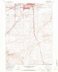
1961 Map of Cheyenne South
USGS Topo · Published 1963About this map
Cheyenne expansion pushes southward in the early 1960s, where the structured grid of Orchard Valley meets the open rangelands of Laramie County. The landscape is defined by its transportation and communication infrastructure, including the convergence of the Union Pacific and Colorado and Southern railroads alongside a cluster of early broadcast sites like Radio Tower (KRAE) and Radio Tower (KFBC).
Find a feature on this map
27 named features on this map. Tap any name to fly to it.
Don’t see what you’re looking for? This feature index may not catch every label — zoom into the map to look around manually.
Map Details
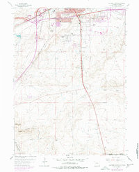
Editions of this 1961 Cheyenne South Map
3 editions found
Other maps of this area

1908 · Eaton
USGS Topo · 1:125,000

1910 · Eaton
USGS Topo · 1:125,000

1911 · Cheyenne
USGS Topo · 1:125,000

1914 · Cheyenne
USGS Topo · 1:125,000

1950 · Cheyenne
USGS Topo · 1:62,500

1954 · Cheyenne
USGS Topo · 1:250,000

1954 · Greeley
USGS Topo · 1:250,000

1957 · Greeley
USGS Topo · 1:250,000

1958 · Cheyenne
USGS Topo · 1:250,000

1958 · Greeley
USGS Topo · 1:250,000