
1963 Map of Pole Creek Ranch SE
USGS Topo · Published 1967About this map
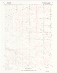
Lodgepole Creek meanders through the southern portion of this high plains landscape, while Antelope Draw carves a path through the rolling topography to the north. Surveyed by the Geological Survey and field checked in the early 1960s, the map reveals a sparsely populated ranching territory centered around isolated outposts such as Berry Ranch and Johnson Ranch. The presence of Chivington and a Gravel Pit along the northeastern draws suggests the practical land use and resource extraction typical of Laramie County during this era. Fine dashed lines across the terrain delineate selected fence lines, providing a granular look at how large-scale land holdings were managed and divided before later development changed the character of these open rangelands.
Find a feature on this map
6 named features on this map. Tap any name to fly to it.
Don’t see what you’re looking for? This feature index may not catch every label — zoom into the map to look around manually.
Map Details
Editions of this 1963 Pole Creek Ranch SE Map
2 editions found
Other maps of this area

1911 · Cheyenne
USGS Topo · 1:125,000

1914 · Cheyenne
USGS Topo · 1:125,000

1954 · Cheyenne
USGS Topo · 1:250,000

1958 · Cheyenne
USGS Topo · 1:250,000

1963 · Little Indian Draw
USGS Topo · 1:24,000

1963 · Midway
USGS Topo · 1:24,000

1963 · Durham
USGS Topo · 1:24,000

1963 · Midway SW
USGS Topo · 1:24,000
1963 · Pole Creek Ranch
USGS Topo · 1:24,000
1963 · Hillsdale
USGS Topo · 1:24,000