
1898 Map of Scotts Bluff
USGS Topo · Published 1898About this map
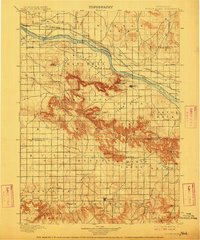
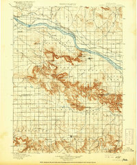
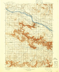
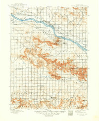
The North Platte River carves through this western Nebraska landscape, defining the irrigation and settlement patterns of the late nineteenth century. In the Mitchell Bottom, an extensive network of ditches including the Enterprise Canal, Farmers Canal, and Mitchell Canal illustrates the early reliance on water management for prairie agriculture. South of the river, the striking topography of the Wildcat Hills emerges, featuring landmarks like Scotts Bluff, Dome Rock, and Signal Butte.
Find a feature on this map
54 named features on this map. Tap any name to fly to it.
Don’t see what you’re looking for? This feature index may not catch every label — zoom into the map to look around manually.
Map Details
Editions of this 1898 Scotts Bluff Map
5 editions found
Other maps of this area

1896 · Patrick
USGS Topo · 1:125,000

1898 · Camp Clarke
USGS Topo · 1:125,000

1899 · Goshen Hole
USGS Topo · 1:125,000

1899 · Whistle Creek
USGS Topo · 1:125,000

1951 · Kilpatrick Lake
USGS Topo · 1:62,500

1954 · Scottsbluff
USGS Topo · 1:250,000

1954 · Torrington
USGS Topo · 1:250,000

1954 · Cheyenne
USGS Topo · 1:250,000

1955 · Alliance
USGS Topo · 1:250,000

1957 · Alliance
USGS Topo · 1:250,000