
1898 Map of Camp Clarke
USGS Topo · Published 1898About this map
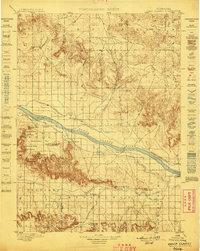
Chimney Rock stands as a landmark of the western expansion era, marking the skyline of the North Platte River valley during this 1895 survey. The map details an extensive network of early irrigation infrastructure essential to the high plains, including the Bayard Canal, Alliance Canal, and Browns Creek Canal. These waterworks supported early settlements like Bayard and Willford while skirting the dramatic topography of the Wildcat Hills to the south.
Find a feature on this map
64 named features on this map. Tap any name to fly to it.
Don’t see what you’re looking for? This feature index may not catch every label — zoom into the map to look around manually.
Map Details
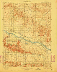
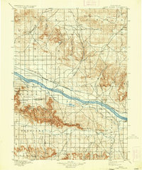
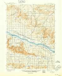
Editions of this 1898 Camp Clarke Map
5 editions found
Other maps of this area

1896 · Browns Creek
USGS Topo · 1:125,000

1898 · Scotts Bluff
USGS Topo · 1:125,000

1899 · Browns Creek
USGS Topo · 1:125,000

1899 · Sidney
USGS Topo · 1:125,000

1899 · Whistle Creek
USGS Topo · 1:125,000

1947 · Bronco Lake
USGS Topo · 1:24,000

1948 · Hemingford 4 SW
USGS Topo · 1:24,000

1948 · Hemingford 4 SE
USGS Topo · 1:24,000

1949 · Lynn
USGS Topo · 1:62,500
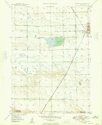
1949 · Bronco Lake
USGS Topo · 1:24,000