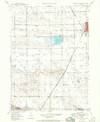
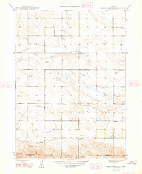
1947 Map of Bronco Lake
USGS Topo · Published 1970About this map
Bronco Lake and the meandering path of Snake Creek define this section of the Nebraska panhandle, where the high plains meet early twentieth-century infrastructure. The landscape is marked by the Chicago Burlington and Quincy railroad, which cuts a straight line through the southern townships toward the burgeoning edge of Alliance. In the northeast corner, the city's outskirts include the St Josephs Hospital and the Alliance Country Club, signaling the community's mid-century expansion.
Find a feature on this map
15 named features on this map. Tap any name to fly to it.
Don’t see what you’re looking for? This feature index may not catch every label — zoom into the map to look around manually.
Map Details
Editions of this 1947 Bronco Lake Map
2 editions found

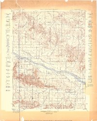
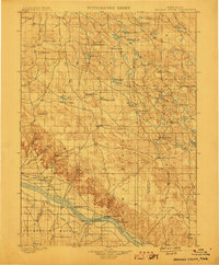
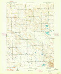
Other maps of this area

1896 · Browns Creek
USGS Topo · 1:125,000
1898 · Camp Clarke
USGS Topo · 1:125,000
1899 · Browns Creek
USGS Topo · 1:125,000

1946 · Berea Creek East
USGS Topo · 1:24,000
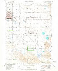
1947 · Alliance
USGS Topo · 1:24,000
1948 · Hemingford 4 SE
USGS Topo · 1:24,000

1948 · Berea Creek West
USGS Topo · 1:24,000
1948 · Berea Creek East
USGS Topo · 1:24,000
1948 · Hemingford 4 NE
USGS Topo · 1:24,000
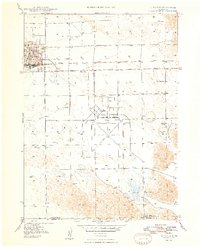
1948 · Alliance
USGS Topo · 1:24,000