
1948 Map of Hemingford 4 NE
USGS Topo · Published 1948About this map
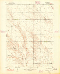
The High Plains of Box Butte County are characterized by a transition from flat agricultural tablelands into the dissected breaks of local drainages in this 1946 survey. The landscape is primarily defined by large administrative townships such as Nonpareil and Wright, which reflect the vast, open nature of the Nebraska Panhandle before intensive modern development. Rural life in the late 1940s is anchored by a network of numbered schoolhouses, including School No 7, School No 17, and School No 58, which served the scattered farming families of the region.
Find a feature on this map
9 named features on this map. Tap any name to fly to it.
Don’t see what you’re looking for? This feature index may not catch every label — zoom into the map to look around manually.
Map Details
Editions of this 1948 Hemingford 4 NE Map
4 editions found
Other maps of this area

1946 · Nonpareil
USGS Topo · 1:24,000

1947 · Bronco Lake
USGS Topo · 1:24,000

1948 · Hemingford
USGS Topo · 1:24,000

1948 · Hemingford 4 SW
USGS Topo · 1:24,000

1948 · Hemingford 4 SE
USGS Topo · 1:24,000

1948 · Berea Creek West
USGS Topo · 1:24,000

1948 · Hemingford 4 NW
USGS Topo · 1:24,000

1948 · Nonpareil
USGS Topo · 1:24,000

1949 · Box Butte SW
USGS Topo · 1:24,000
1949 · Bronco Lake
USGS Topo · 1:24,000