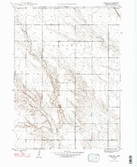
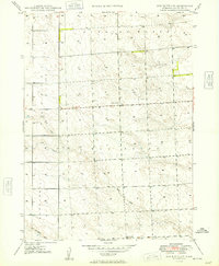
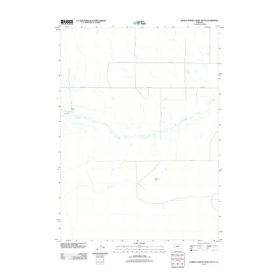
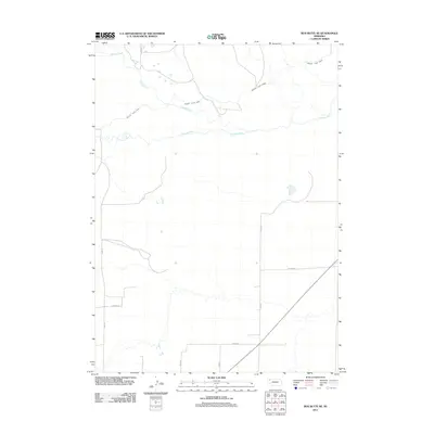
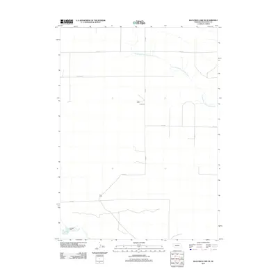
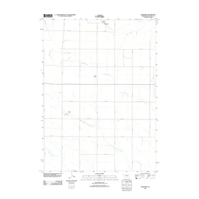
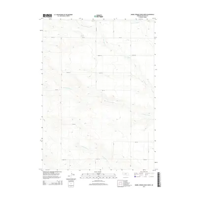
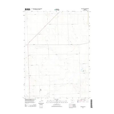
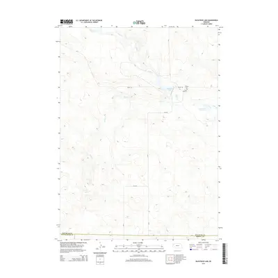
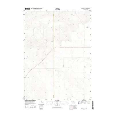
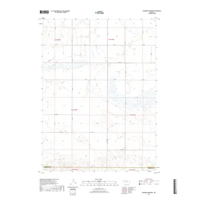
1948 Map of School No. 7
USGS Topo · Published 1993About this map
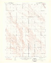
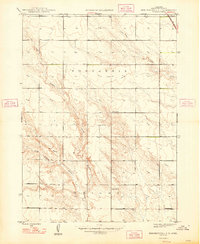
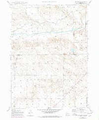
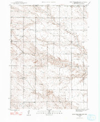
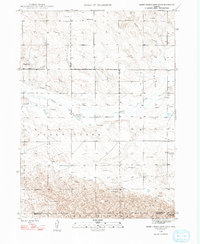
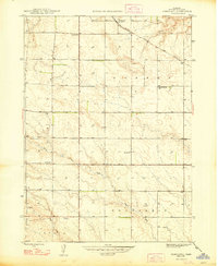
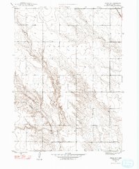
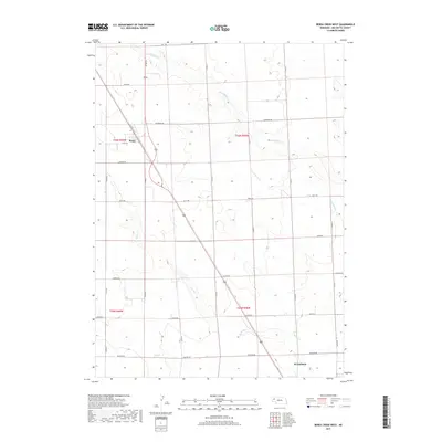
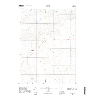
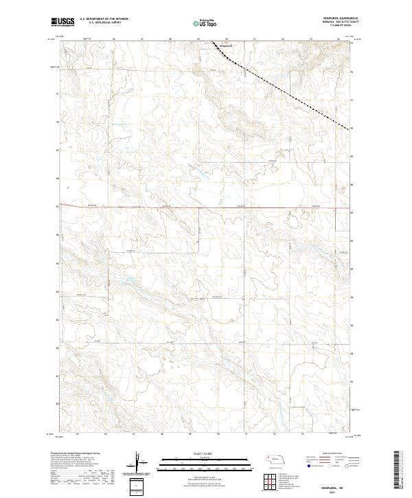
Educational districts and rural land divisions define this mid-century landscape in Box Butte County. The survey highlights a series of numbered local schools, including School No 7, School No 17, and School No 58, which served the scattered farmsteads of the Nonpareil and Wright precincts. Transportation through these High Plains reaches is anchored by the C B and Q RR in the northeast corner, a critical link for the region's agricultural economy. The terrain is deeply inscribed by the drainages of the North Branch Point of Rocks Creek and the South Branch Point of Rocks Creek, which flow through the central and southern portions of the quadrangle. Berea Creek also touches the northern edge, illustrating the subtle but essential water network that dictated early settlement patterns and township development in this part of western Nebraska.
Find a feature on this map
9 named features on this map. Tap any name to fly to it.
Don’t see what you’re looking for? This feature index may not catch every label — zoom into the map to look around manually.
Map Details
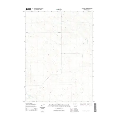
Editions of this 1948 School No. 7 Map
4 editions found
Historical Maps of Box Butte County Through Time
92 maps found

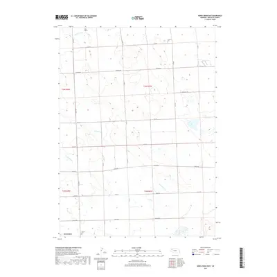
1946 Berea Creek East
Box Butte County, NE

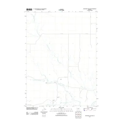
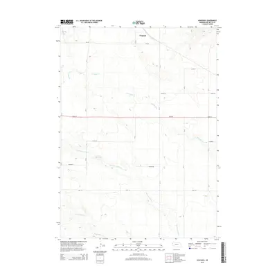
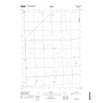
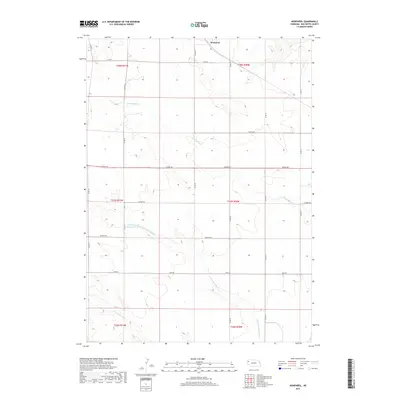
1946 Nonpareil
Box Butte County, NE

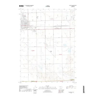
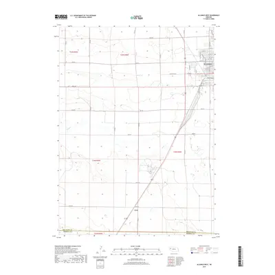
1947 Alliance East
Box Butte County, NE

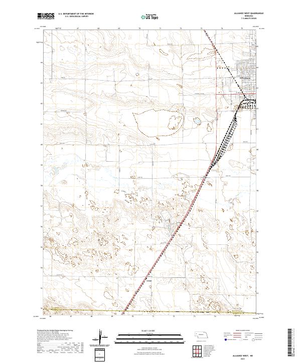
1947 Alliance West
Box Butte County, NE

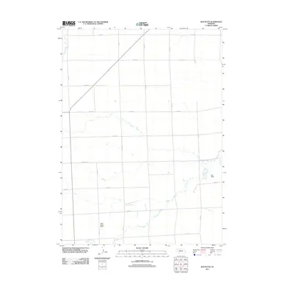
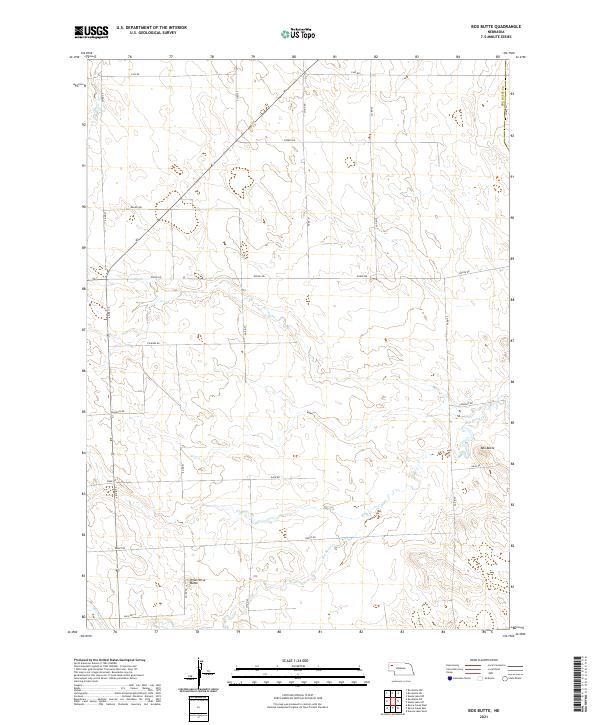
1947 Box Butte
Box Butte County, NE
1947 Box Butte NE
Box Butte County, NE
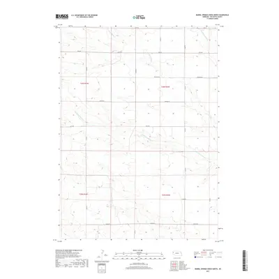
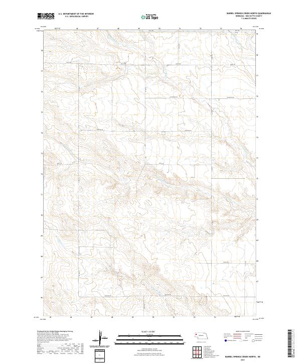
1948 Barrel Springs Creek North
Box Butte County, NE
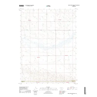
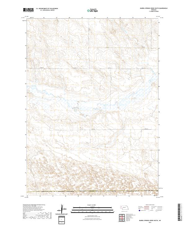
1948 Barrel Springs Creek South
Box Butte County, NE

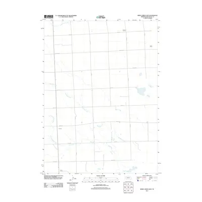
1948 Berea Creek East
Box Butte County, NE

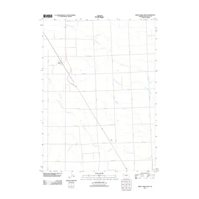
1948 Berea Creek West
Box Butte County, NE

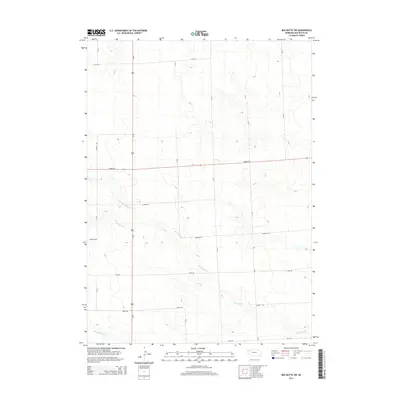
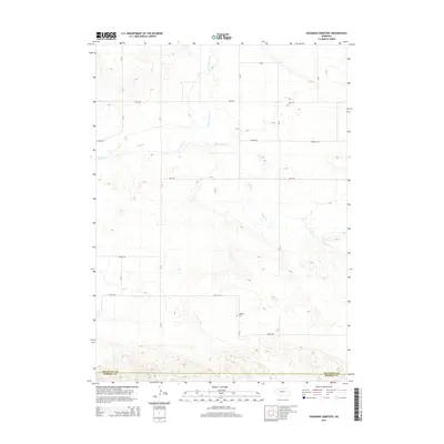
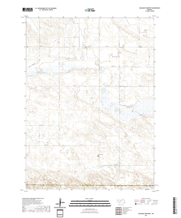
1948 Hagaman Cemetery
Box Butte County, NE
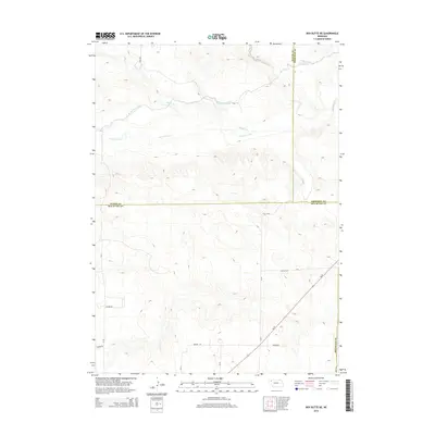
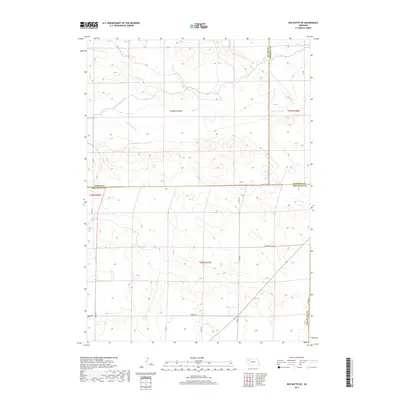
1948 Nonpareil
Box Butte County, NE
1948 School No. 7
Box Butte County, NE

1949 Box Butte
Box Butte County, NE

1949 Box Butte NE
Box Butte County, NE
1949 Box Butte SW
Box Butte County, NE

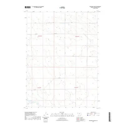
1949 Bronco Lake
Box Butte County, NE

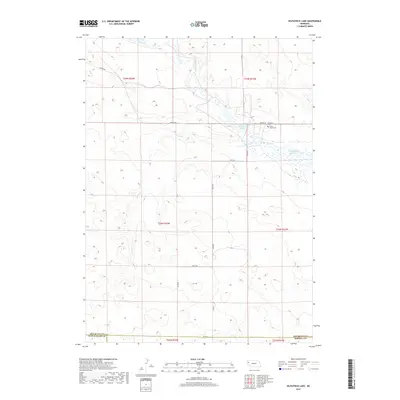
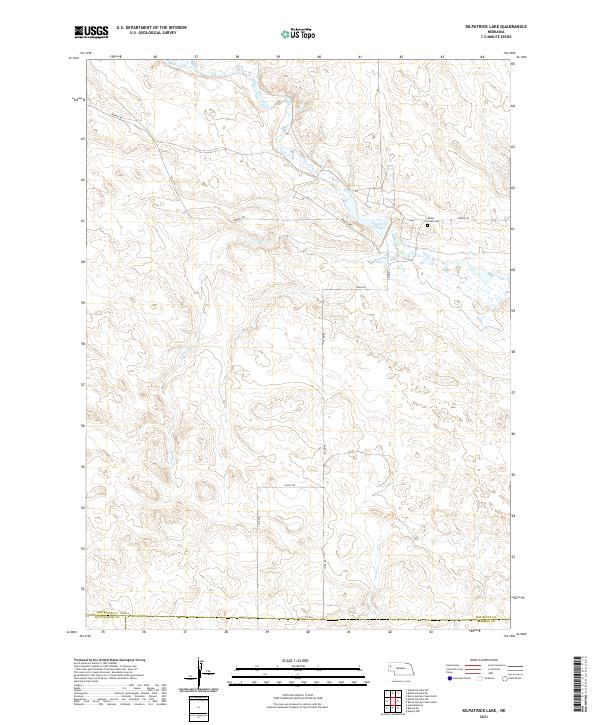
1951 Kilpatrick Lake
Box Butte County, NE

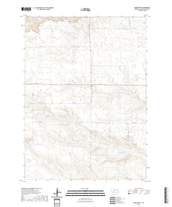
1951 Marsland
Box Butte County, NE

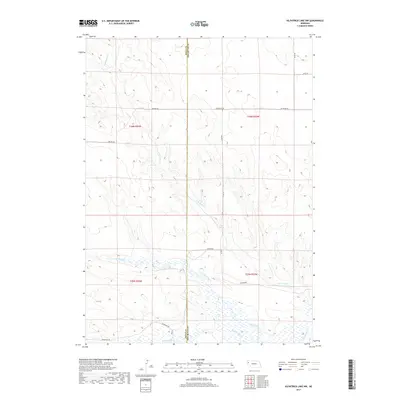
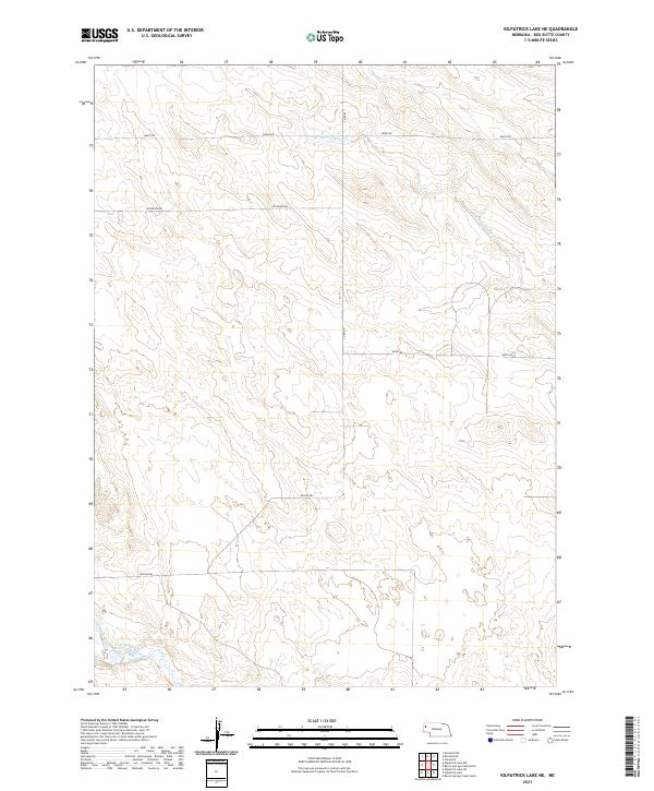
1983 Kilpatrick Lake
Box Butte County, NE

1983 Kilpatrick Lake NE
Box Butte County, NE

1983 Kilpatrick Lake NW
Box Butte County, NE

1983 Marsland SE
Box Butte County, NE

1983 Marsland SW
Box Butte County, NE
2011 Alliance East
Box Butte County, NE
2011 Alliance West
Box Butte County, NE
2011 Barrel Springs Creek North
Box Butte County, NE
2011 Barrel Springs Creek South
Box Butte County, NE
2011 Berea Creek East
Box Butte County, NE
2011 Berea Creek West
Box Butte County, NE
2011 Box Butte
Box Butte County, NE
2011 Box Butte NE
Box Butte County, NE
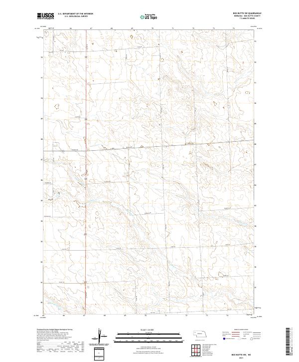
2011 Box Butte SW
Box Butte County, NE
2011 Hagaman Cemetery
Box Butte County, NE
2011 Kilpatrick Lake
Box Butte County, NE
2011 Kilpatrick Lake NE
Box Butte County, NE
2011 Kilpatrick Lake NW
Box Butte County, NE
2011 Marsland SE
Box Butte County, NE
2011 Marsland SW
Box Butte County, NE
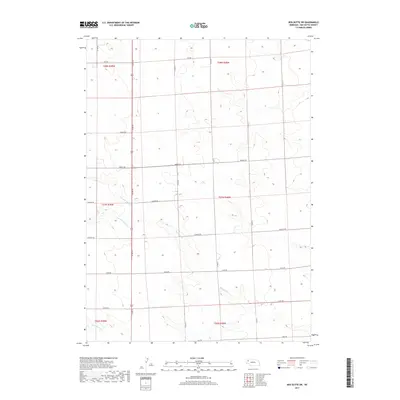
2011 Nonpareil
Box Butte County, NE
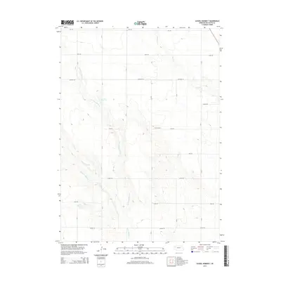
2011 School Number 7
Box Butte County, NE
2014 Alliance East
Box Butte County, NE
2014 Alliance West
Box Butte County, NE
2014 Barrel Springs Creek North
Box Butte County, NE
2014 Barrel Springs Creek South
Box Butte County, NE
2014 Berea Creek East
Box Butte County, NE
2014 Berea Creek West
Box Butte County, NE
2014 Box Butte
Box Butte County, NE
2014 Box Butte NE
Box Butte County, NE
2014 Box Butte SW
Box Butte County, NE
2014 Hagaman Cemetery
Box Butte County, NE
2014 Kilpatrick Lake
Box Butte County, NE
2014 Kilpatrick Lake NE
Box Butte County, NE
2014 Kilpatrick Lake NW
Box Butte County, NE
2014 Marsland SE
Box Butte County, NE
2014 Marsland SW
Box Butte County, NE
2014 Nonpareil
Box Butte County, NE
2014 School Number 7
Box Butte County, NE
2017 Alliance East
Box Butte County, NE
2017 Alliance West
Box Butte County, NE
2017 Barrel Springs Creek North
Box Butte County, NE
2017 Barrel Springs Creek South
Box Butte County, NE
2017 Berea Creek East
Box Butte County, NE
2017 Berea Creek West
Box Butte County, NE
2017 Box Butte
Box Butte County, NE
2017 Box Butte NE
Box Butte County, NE
2017 Box Butte SW
Box Butte County, NE
2017 Hagaman Cemetery
Box Butte County, NE
2017 Kilpatrick Lake
Box Butte County, NE
2017 Kilpatrick Lake NE
Box Butte County, NE
2017 Kilpatrick Lake NW
Box Butte County, NE

2017 Marsland SE
Box Butte County, NE
2017 Marsland SW
Box Butte County, NE
2017 Nonpareil
Box Butte County, NE
2017 School Number 7
Box Butte County, NE

2021 Alliance East
Box Butte County, NE
2021 Alliance West
Box Butte County, NE
2021 Barrel Springs Creek North
Box Butte County, NE
2021 Barrel Springs Creek South
Box Butte County, NE

2021 Berea Creek East
Box Butte County, NE

2021 Berea Creek West
Box Butte County, NE
2021 Box Butte
Box Butte County, NE

2021 Box Butte NE
Box Butte County, NE
2021 Box Butte SW
Box Butte County, NE
2021 Hagaman Cemetery
Box Butte County, NE
2021 Kilpatrick Lake
Box Butte County, NE
2021 Kilpatrick Lake NE
Box Butte County, NE

2021 Kilpatrick Lake NW
Box Butte County, NE
2021 Marsland SE
Box Butte County, NE

2021 Marsland SW
Box Butte County, NE
2021 Nonpareil
Box Butte County, NE
2021 School Number 7
Box Butte County, NE