
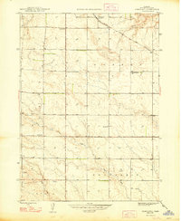
1948 Map of Nonpareil
USGS Topo · Published 1948About this map
The Chicago Burlington and Quincy railroad cuts diagonally through the northern landscape of Box Butte County, anchoring the small settlement of Nonpareil. This 1940s survey reveals a rural landscape organized into distinct precincts, including Dorsey, Nonpareil, and Liberty. The distribution of one-room schoolhouses, such as Prairie Flower Sch and Sch No 32, reflects a period when localized education was essential for the surrounding farming and ranching families.
Find a feature on this map
18 named features on this map. Tap any name to fly to it.
Don’t see what you’re looking for? This feature index may not catch every label — zoom into the map to look around manually.
Map Details
Editions of this 1948 Nonpareil Map
2 editions found
Other maps of this area

1946 · Nonpareil
USGS Topo · 1:24,000

1946 · Box Butte Reservoir West
USGS Topo · 1:24,000

1948 · Box Butte Reservoir West
USGS Topo · 1:24,000

1948 · Hemingford
USGS Topo · 1:24,000

1948 · Hemingford 4 NE
USGS Topo · 1:24,000

1948 · Hemingford 4 NW
USGS Topo · 1:24,000

1948 · Box Butte Reservoir East
USGS Topo · 1:24,000

1951 · Marsland
USGS Topo · 1:62,500

1951 · Kilpatrick Lake
USGS Topo · 1:62,500

1955 · Alliance
USGS Topo · 1:250,000