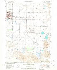
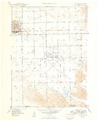
1947 Map of Alliance
USGS Topo · Published 1967About this map
Alliance serves as the focal point of this postwar survey, showing the Nebraska panhandle town during a period of infrastructure expansion. The municipal core is clearly defined by the Courthouse and City Hall, while the Chicago Burlington and Quincy railroad lines emphasize the community's role as a vital transportation hub. To the southeast, the expansive Alliance Airport dominates the landscape, reflecting its transition from a wartime facility to a civilian aviation center.
Find a feature on this map
15 named features on this map. Tap any name to fly to it.
Don’t see what you’re looking for? This feature index may not catch every label — zoom into the map to look around manually.
Map Details
Editions of this 1947 Alliance Map
2 editions found

Other maps of this area

1896 · Browns Creek
USGS Topo · 1:125,000
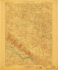
1899 · Browns Creek
USGS Topo · 1:125,000

1946 · Berea Creek East
USGS Topo · 1:24,000
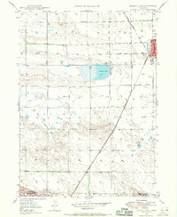
1947 · Bronco Lake
USGS Topo · 1:24,000

1948 · Berea Creek West
USGS Topo · 1:24,000
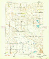
1948 · Berea Creek East
USGS Topo · 1:24,000
1948 · Alliance
USGS Topo · 1:24,000

1948 · Antioch
USGS Topo · 1:62,500
1949 · Lynn
USGS Topo · 1:62,500

1949 · Bronco Lake
USGS Topo · 1:24,000