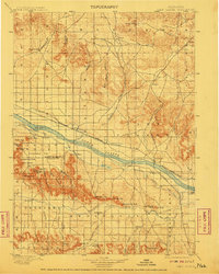
1898 Map of Camp Clarke
USGS Topo · Published 1911About this map
The North Platte River serves as the central artery for this late-19th-century landscape, where early settlement and irrigation systems take root in Nebraska's Panhandle. Iconic geologic landmarks that guided westward pioneers dominate the topography, including the towering spires of Chimney Rock and the massive formations of Courthouse Rock and Jail Rock. The map illustrates a pivotal era of agricultural development, evidenced by an extensive network of gravity-fed ditches like the Bayard Canal and Chimney Rock Canal, which diverted river water to the surrounding flats.
Find a feature on this map
72 named features on this map. Tap any name to fly to it.
Don’t see what you’re looking for? This feature index may not catch every label — zoom into the map to look around manually.
Map Details
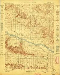
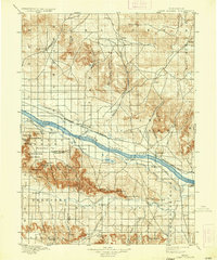
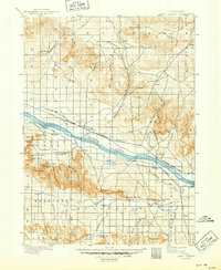
Editions of this 1898 Camp Clarke Map
5 editions found
Other maps of this area

1896 · Browns Creek
USGS Topo · 1:125,000

1898 · Scotts Bluff
USGS Topo · 1:125,000

1898 · Camp Clarke
USGS Topo · 1:125,000

1899 · Browns Creek
USGS Topo · 1:125,000

1899 · Sidney
USGS Topo · 1:125,000

1899 · Whistle Creek
USGS Topo · 1:125,000

1947 · Bronco Lake
USGS Topo · 1:24,000

1948 · Hemingford 4 SW
USGS Topo · 1:24,000

1948 · Hemingford 4 SE
USGS Topo · 1:24,000

1949 · Lynn
USGS Topo · 1:62,500