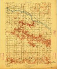
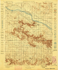
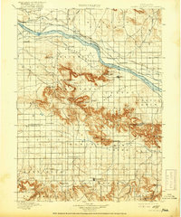
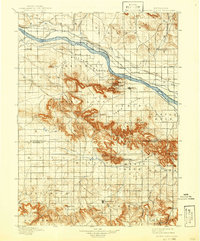
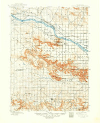
1898 Map of Scotts Bluff
USGS Topo · Published 1910About this map
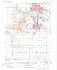
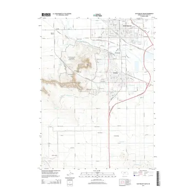
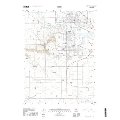
North Platte River flows through the northern reaches of this territory, defining the fertile Mitchell Bottom where a network of early irrigation projects like the Farmers Canal and Enterprise Canal supported new agricultural settlements. The landscape transitions sharply from the river valley into the striking geological formations of the Wildcat Hills, marked by Scotts Bluff, Dome Rock, and Signal Butte. These landmarks oversaw the path of the historic Roubedeau Pass, a critical corridor through the bluffs before the rail lines arrived.
Find a feature on this map
76 named features on this map. Tap any name to fly to it.
Don’t see what you’re looking for? This feature index may not catch every label — zoom into the map to look around manually.
Map Details
Editions of this 1898 Scotts Bluff Map
5 editions found
Historical Maps of Scottsbluff Through Time
36 maps found
1898 Scotts Bluff
Scotts Bluff County, NE
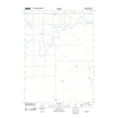
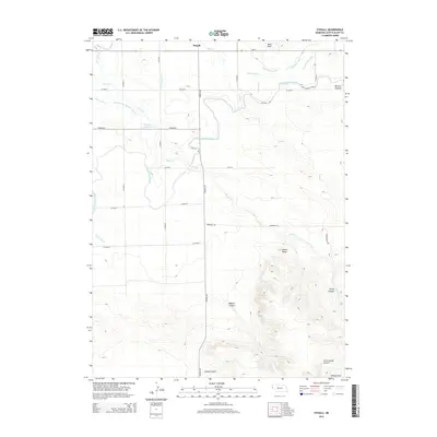
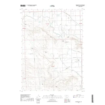
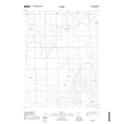
1960 Stegall
Scotts Bluff County, NE
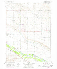
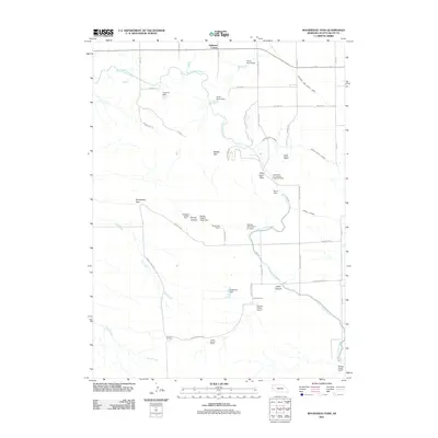
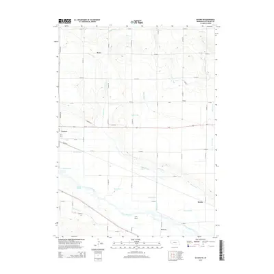
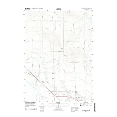
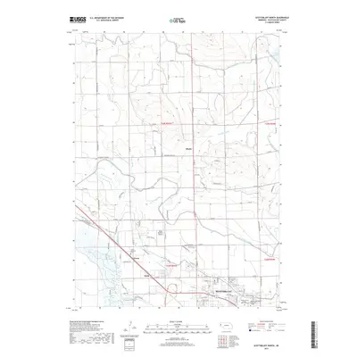
1963 Roubadeau Pass
Scotts Bluff County, NE
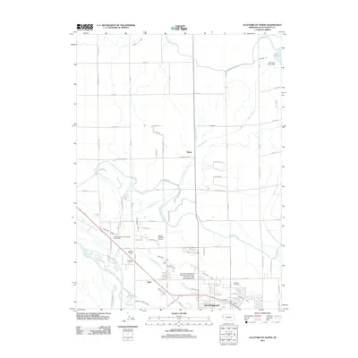
1963 Scottsbluff North
Scotts Bluff County, NE
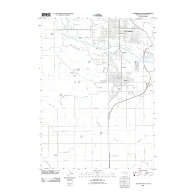
1963 Scottsbluff South
Scotts Bluff County, NE
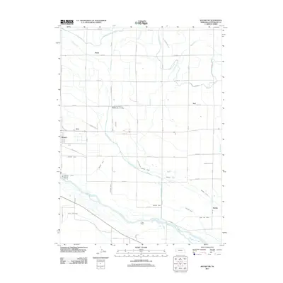
1965 Bayard SW
Scotts Bluff County, NE
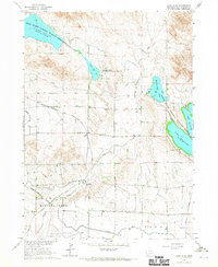
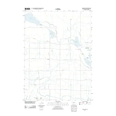
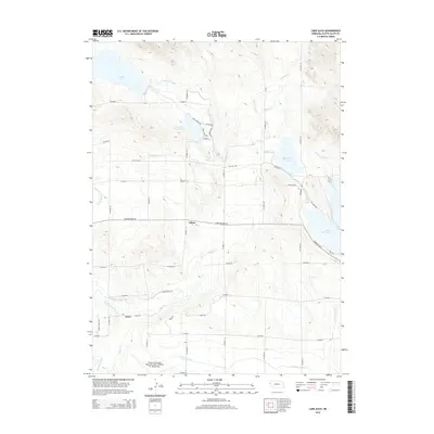
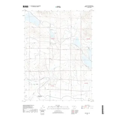
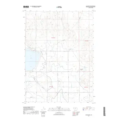
1965 Lake Alice
Scotts Bluff County, NE
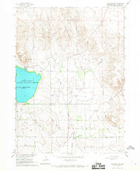
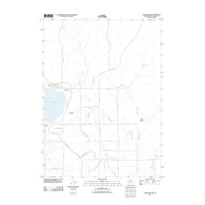
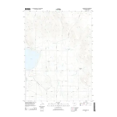
1965 Lake Minatare
Scotts Bluff County, NE
2011 Bayard SW
Scotts Bluff County, NE
2011 Lake Alice
Scotts Bluff County, NE
2011 Lake Minatare
Scotts Bluff County, NE
2011 Roubadeau Pass
Scotts Bluff County, NE
2011 Scottsbluff North
Scotts Bluff County, NE
2011 Scottsbluff South
Scotts Bluff County, NE
2011 Stegall
Scotts Bluff County, NE
2014 Bayard SW
Scotts Bluff County, NE
2014 Lake Alice
Scotts Bluff County, NE
2014 Lake Minatare
Scotts Bluff County, NE
2014 Roubadeau Pass
Scotts Bluff County, NE
2014 Scottsbluff North
Scotts Bluff County, NE
2014 Scottsbluff South
Scotts Bluff County, NE
2014 Stegall
Scotts Bluff County, NE
2017 Bayard SW
Scotts Bluff County, NE
2017 Lake Alice
Scotts Bluff County, NE
2017 Lake Minatare
Scotts Bluff County, NE
2017 Roubadeau Pass
Scotts Bluff County, NE
2017 Scottsbluff North
Scotts Bluff County, NE
2017 Scottsbluff South
Scotts Bluff County, NE
2017 Stegall
Scotts Bluff County, NE
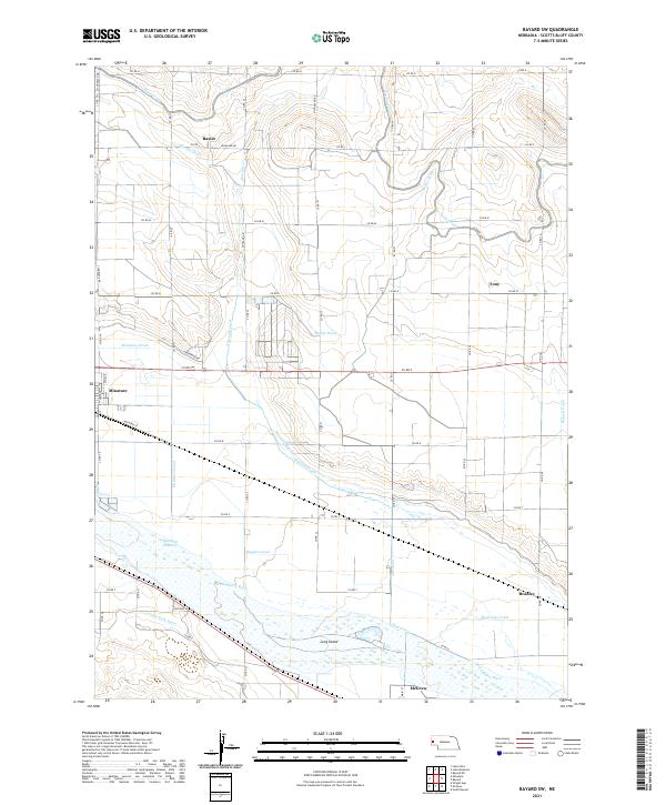
2021 Bayard SW
Scotts Bluff County, NE
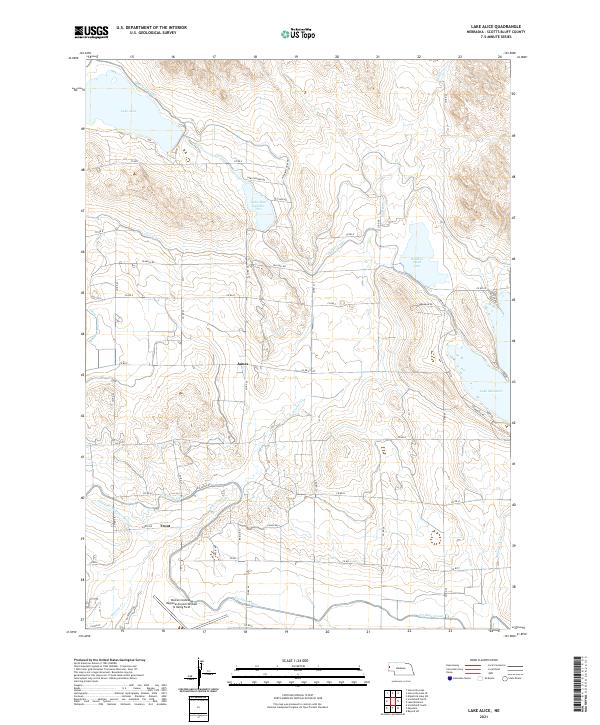
2021 Lake Alice
Scotts Bluff County, NE
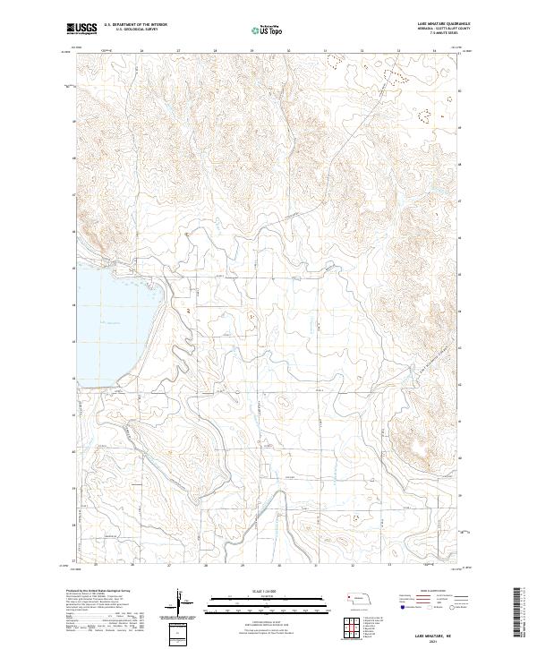
2021 Lake Minatare
Scotts Bluff County, NE
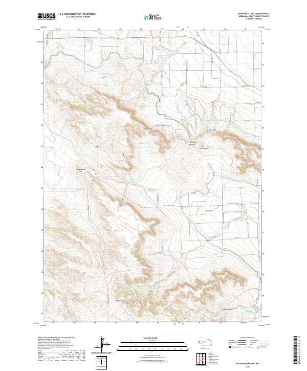
2021 Roubadeau Pass
Scotts Bluff County, NE
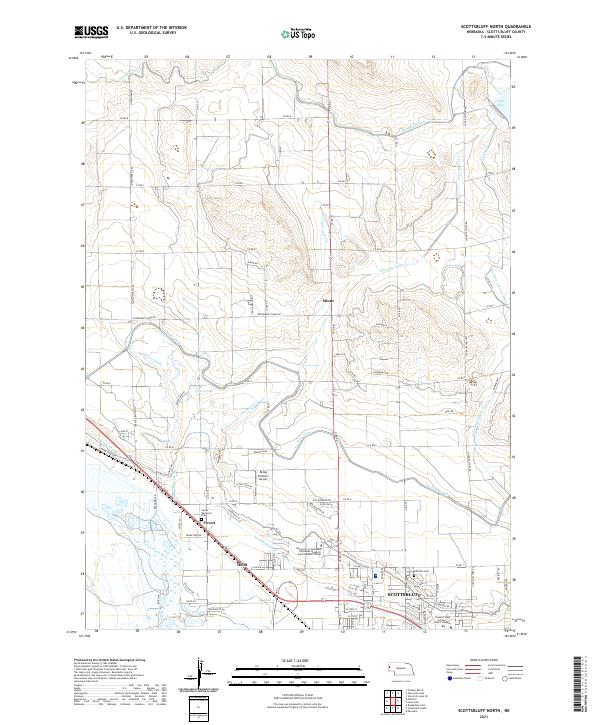
2021 Scottsbluff North
Scotts Bluff County, NE
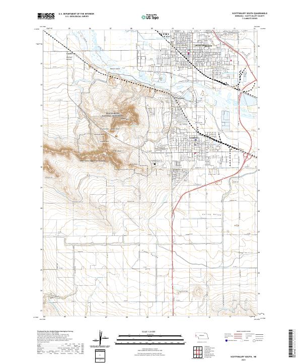
2021 Scottsbluff South
Scotts Bluff County, NE
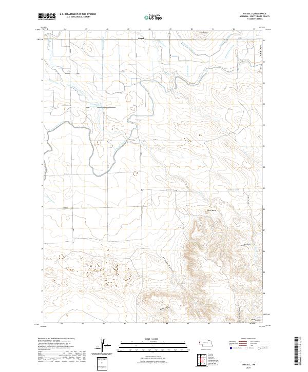
2021 Stegall
Scotts Bluff County, NE