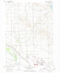
1963 Map of Scottsbluff North
USGS Topo · Published 1977About this map
The North Platte River winds through the southwestern corner of this survey, defining a landscape dominated by a complex network of irrigation and drainage. North of Scottsbluff, the terrain is etched by the Interstate Canal, Tri-State Canal, and Enterprise Canal, illustrating the vital role of water management in the development of the Missouri River Basin. The presence of the University of Nebraska Scottsbluff Experiment Sta underscores the area's agricultural focus.
Find a feature on this map
44 named features on this map. Tap any name to fly to it.
Don’t see what you’re looking for? This feature index may not catch every label — zoom into the map to look around manually.
Map Details
Editions of this 1963 Scottsbluff North Map
2 editions found
Other maps of this area

1898 · Scotts Bluff
USGS Topo · 1:125,000

1899 · Whistle Creek
USGS Topo · 1:125,000

1954 · Scottsbluff
USGS Topo · 1:250,000

1955 · Alliance
USGS Topo · 1:250,000

1957 · Alliance
USGS Topo · 1:250,000

1958 · Alliance
USGS Topo · 1:250,000

1958 · Scottsbluff
USGS Topo · 1:250,000

1963 · Scottsbluff South
USGS Topo · 1:24,000

1963 · Mitchell
USGS Topo · 1:24,000

1963 · Scottsbluff North
USGS Topo · 1:24,000