
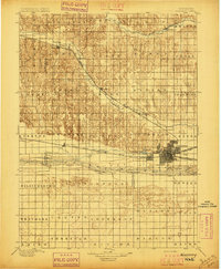
Historical Maps of Nebraska
What stories do these 2,745 old maps tell about Nebraska's past? From 1885 to present day, these maps reveal the evolution of streets, neighborhoods, iconic landmarks, and natural features in stunning high-res detail. Whether you're a history enthusiast, genealogist, or professional in education, environmental work, or architecture, these maps are perfect for exploration, research, and discovery.
Discover Nebraska's history through maps:
- Trace Nebraska's growth: Explore earlier and latest maps and editions to uncover how the region changed over time.
- Examine technical details: Each map includes its creators, publishers, scale, dimensions, and full source information.
- Layer maps with modern tools & imagery: Compare historical maps to modern-day with high-resolution satellite imagery and detailed LiDAR layers.
- Sourced from trusted archives: Carefully preserved and digitized by institutions like the United Stated Geological Survey and the US Library of Congress.
- Access in any format: View and explore in high resolution, download for offline use, or order a museum-quality print for yourself or a loved one.
Begin your journey into Nebraska's history with these remarkable must-see maps.
Nebraska maps
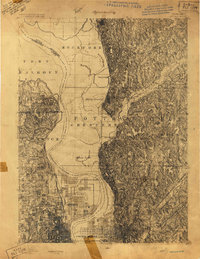
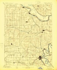
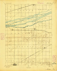
(2,745)- 1885 Map of Atchison, 1954 Print
 1885 Atchison1954 Print · USGSCovers Nebraska, including Atchison, Shannon, and other nearby areas
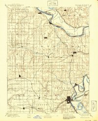
 - 1888 Map of Atchison
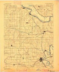
 1888 Atchison1888 Print · USGSCovers Nebraska, including Atchison, Shannon, and other nearby areas
 - 1892 Map of Grand Island
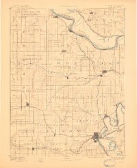
 1892 Grand Island1892 Print · USGSCovers Nebraska, including Grand Island, Doniphan, and other nearby areas
 - 1893 Map of Omaha
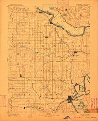
 1893 Omaha1893 Print · USGSCovers Nebraska, including Omaha, Council Bluffs, and other nearby areas
 - 1893 Map of Omaha
 1893 Omaha1893 Print · USGSCovers Nebraska, including Omaha, Council Bluffs, and other nearby areas
 - 1893 Map of Atchison
 1893 Atchison1893 Print · USGSCovers Nebraska, including Atchison, Shannon, and other nearby areas
 - 1893 Map of Atchison, 1900 Print
 1893 Atchison1900 Print · USGSCovers Nebraska, including Atchison, Shannon, and other nearby areas
 - 1893 Map of Atchison, 1910 Print
 1893 Atchison1910 Print · USGSCovers Nebraska, including Atchison, Shannon, and other nearby areas
 - 1893 Map of Atchison, 1910 Print
 1893 Atchison1910 Print · USGSCovers Nebraska, including Atchison, Shannon, and other nearby areas
 - 1893 Map of Atchison, 1924 Print
 1893 Atchison1924 Print · USGSCovers Nebraska, including Atchison, Shannon, and other nearby areas
 - 1893 Map of Atchison, 1940 Print
 1893 Atchison1940 Print · USGSCovers Nebraska, including Atchison, Shannon, and other nearby areas
 - 1893 Map of Fremont, 1960 Print
 1893 Fremont1960 Print · USGSCovers Nebraska, including Omaha, Bellevue, and other nearby areas
 - 1894 Map of Kenesaw
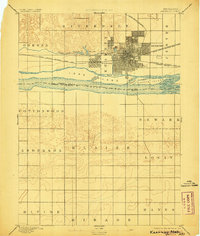
 1894 Kenesaw1894 Print · USGSCovers Nebraska, including Kenesaw, Juniata, and other nearby areas
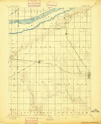
 - 1894 Map of Kearney
 1894 Kearney1894 Print · USGSCovers Nebraska, including Kearney, Sheens Trailer Court, and other nearby areas
 - 1894 Map of Minden
 1894 Minden1894 Print · USGSCovers Nebraska, including Minden, Gibbon, and other nearby areas
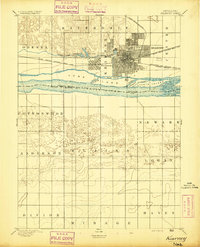
 - 1894 Map of Kearney, 1906 Print
 1894 Kearney1906 Print · USGSCovers Nebraska, including Kearney, Sheens Trailer Court, and other nearby areas
 - 1894 Map of Minden, 1908 Print
 1894 Minden1908 Print · USGSCovers Nebraska, including Minden, Gibbon, and other nearby areas
 - 1895 Map of Grand Island
 1895 Grand Island1895 Print · USGSCovers Nebraska, including Grand Island, Doniphan, and other nearby areas
 - 1895 Map of Wood River
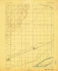 1895 Wood River1895 Print · USGSCovers Nebraska, including Wood River, Shelton, and other nearby areas
 - 1896 Map of Lexington
 1896 Lexington1896 Print · USGSCovers Nebraska, including Lexington, Cozad, and other nearby areas
 - 1896 Map of Oelrichs
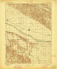
 1896 Oelrichs1896 Print · USGSCovers Nebraska, including Hot Springs, Pine Ridge, and other nearby areas
 - 1896 Map of Holdrege
 1896 Holdrege1896 Print · USGSCovers Nebraska, including Holdrege, Minden, and other nearby areas
 - 1896 Map of Patrick
 1896 Patrick1896 Print · USGSCovers Nebraska, including Torrington, Lingle, and other nearby areas
 - 1896 Map of Kearney
 1896 Kearney1896 Print · USGSCovers Nebraska, including Kearney, Elm Creek, and other nearby areas
 - 1896 Map of Arapahoe
 1896 Arapahoe1896 Print · USGSCovers Nebraska, including Arapahoe, Oxford, and other nearby areas
Showing maps 1-25 of 2,745
Top cities in Nebraska
- Omaha historical maps
- Lincoln historical maps
- Bellevue historical maps
- Grand Island historical maps
- Kearney historical maps
- Fremont historical maps
See more
Top counties in Nebraska
- Douglas County historical maps
- Lancaster County historical maps
- Sarpy County historical maps
- Hall County historical maps
- Buffalo County historical maps
- Dodge County historical maps
See more
Frequently asked questions
- What are the different types of historical maps available for Nebraska?
- What is the oldest map of Nebraska?
- Where can I purchase historical maps of Nebraska for my home or office?
- Where can I download high-res historical maps of Nebraska?
- Are there historical topographic maps available for Nebraska?
- Is there historical aerial imagery available for Nebraska?
- Where are historical maps of Nebraska sourced from?