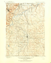
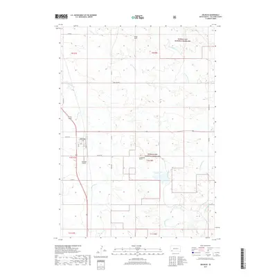
1896 Map of Oelrichs
USGS Topo · Published 1896About this map
Hot Springs and the surrounding limestone hills of the southern Black Hills serve as the focal point for this late nineteenth-century survey. The region's early industrial development is clearly marked by the presence of the Evans Quarry and Elm Creek Quarry, which utilized the area's geology just as the Fremont Elkhorn and Missouri Valley R. R. established a critical transportation link through the valley. The map documents a landscape transitioning into established ranching and commerce, with Warrens Ranch positioned north of the Cheyenne River.
Find a feature on this map
48 named features on this map. Tap any name to fly to it.
Don’t see what you’re looking for? This feature index may not catch every label — zoom into the map to look around manually.
Map Details
Editions of this 1896 Oelrichs Map
This is the sole edition of this map. No revisions or reprints were ever made.
Historical Maps of Hot Springs Through Time
7 maps found