
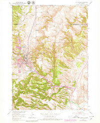
1950 Map of Hot Springs
USGS Topo · Published 1952About this map
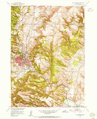
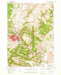
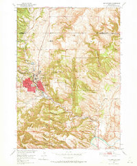
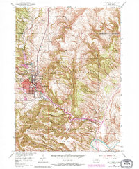
Hot Springs serves as the focal point of this 1950s survey, characterized by its significant medical and veteran-focused infrastructure. The presence of the Battle Mountain National Sanitarium and the State Soldiers Home underscores the town's historical identity as a center for recovery and care, a reputation built on the area's geothermal features like Hot Brook and the Fall River. The settlement pattern is deeply influenced by the steep, restrictive walls of Cold Brook Canyon and Dudley Canyon, which direct development along the narrow valley floors.
Find a feature on this map
29 named features on this map. Tap any name to fly to it.
Don’t see what you’re looking for? This feature index may not catch every label — zoom into the map to look around manually.
Map Details
Editions of this 1950 Hot Springs Map
6 editions found
Other maps of this area

1894 · Hermosa
USGS Topo · 1:125,000

1896 · Oelrichs
USGS Topo · 1:125,000

1896 · Harney Peak
USGS Topo · 1:125,000

1900 · Oelrichs
USGS Topo · 1:125,000

1901 · Hermosa
USGS Topo · 1:125,000

1901 · Harney Peak
USGS Topo · 1:125,000

1902 · Edgemont
USGS Topo · 1:125,000

1950 · Buffalo Gap
USGS Topo · 1:24,000

1950 · Cascade Springs
USGS Topo · 1:24,000

1950 · Hot Springs SE
USGS Topo · 1:24,000