
1902 Map of Edgemont
USGS Topo · Published 1902About this map
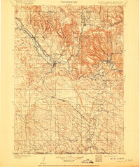
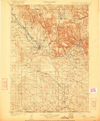
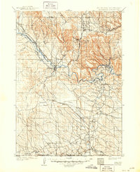
The Cheyenne River carves a winding path through the southwest corner of South Dakota, serving as the primary geographic axis for this 1902 survey. Edgemont emerges as the regional hub at the junction of several rail lines, where the Burlington and Missouri River R. R. follows the river valley and pushes south toward the Nebraska border. The landscape is defined by a dense network of drainages and named canyons, such as Red Canyon and Coal Canyon, that hint at the geological explorations of the era.
Find a feature on this map
56 named features on this map. Tap any name to fly to it.
Don’t see what you’re looking for? This feature index may not catch every label — zoom into the map to look around manually.
Map Details
Editions of this 1902 Edgemont Map
4 editions found
Other maps of this area

1894 · Hermosa
USGS Topo · 1:125,000

1896 · Oelrichs
USGS Topo · 1:125,000

1896 · Harney Peak
USGS Topo · 1:125,000

1899 · Newcastle
USGS Topo · 1:125,000

1900 · Oelrichs
USGS Topo · 1:125,000

1901 · Hermosa
USGS Topo · 1:125,000

1901 · Harney Peak
USGS Topo · 1:125,000

1901 · Newcastle
USGS Topo · 1:125,000

1950 · Hot Springs
USGS Topo · 1:24,000

1950 · Edgemont
USGS Topo · 1:24,000