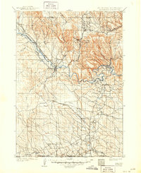
1902 Map of Edgemont
USGS Topo · Published 1949About this map
Edgemont serves as the central hub of this South Dakota landscape, situated at the confluence of the Cheyenne River and several major drainage systems. Surveyed at the turn of the century, the map reveals a rugged western environment where the Burlington and Missouri River R. R. dictates the pattern of settlement, linking small communities like Marietta, Rumford, and Ardmore. The northeastern corner is dominated by the Harney National Forest and complex canyon systems such as Red Canyon and Hell Canyon. Of particular historical interest is the presence of the Fossil Cycad National Monument, marking a specific era of paleontological preservation. The map also captures early industrial activity through a labeled Quarry and various settlements like Cascade Springs and Minnekahta that were vital to the regional economy before later twentieth-century changes altered the local geography.
Find a feature on this map
64 named features on this map. Tap any name to fly to it.
Don’t see what you’re looking for? This feature index may not catch every label — zoom into the map to look around manually.
Map Details
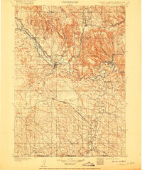
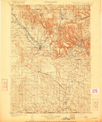
Editions of this 1902 Edgemont Map
4 editions found
Other maps of this area

1894 · Hermosa
USGS Topo · 1:125,000

1896 · Oelrichs
USGS Topo · 1:125,000

1896 · Harney Peak
USGS Topo · 1:125,000

1899 · Newcastle
USGS Topo · 1:125,000

1900 · Oelrichs
USGS Topo · 1:125,000

1901 · Hermosa
USGS Topo · 1:125,000

1901 · Harney Peak
USGS Topo · 1:125,000

1901 · Newcastle
USGS Topo · 1:125,000

1902 · Edgemont
USGS Topo · 1:125,000

1950 · Hot Springs
USGS Topo · 1:24,000