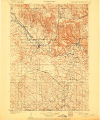
1902 Map of Edgemont
USGS Topo · Published 1917About this map
The Cheyenne River snakes through the heart of this Southern Black Hills landscape, where the Burlington and Missouri River R.R. serves as the primary artery for local commerce. As the twentieth century began, Edgemont stood as a critical rail hub, positioned at the junction where the line turned north toward the timber and mineral wealth of the Harney National Forest. Small settlements like Minnekahta, Cascade Springs, and Provo dot the landscape, illustrating the early footprint of ranching and railway development in Fall River County.
Find a feature on this map
54 named features on this map. Tap any name to fly to it.
Don’t see what you’re looking for? This feature index may not catch every label — zoom into the map to look around manually.
Map Details
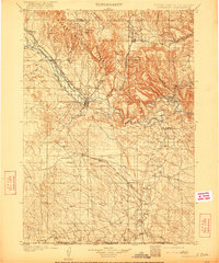
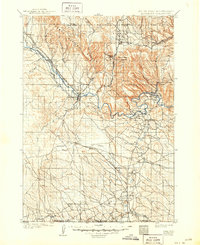
Editions of this 1902 Edgemont Map
4 editions found
Other maps of this area

1894 · Hermosa
USGS Topo · 1:125,000

1896 · Oelrichs
USGS Topo · 1:125,000

1896 · Harney Peak
USGS Topo · 1:125,000

1899 · Newcastle
USGS Topo · 1:125,000

1900 · Oelrichs
USGS Topo · 1:125,000

1901 · Hermosa
USGS Topo · 1:125,000

1901 · Harney Peak
USGS Topo · 1:125,000

1901 · Newcastle
USGS Topo · 1:125,000

1902 · Edgemont
USGS Topo · 1:125,000

1950 · Hot Springs
USGS Topo · 1:24,000