
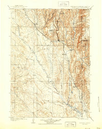
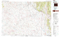
1899 Map of Newcastle
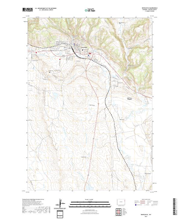
USGS Topo · Published 1964About this map
Newcastle serves as the central hub of this 1899 survey, situated at the junction of the Burlington and Missouri River R R and its industrial Cambria Br line. The map illustrates a landscape transitioning from the cattle-range era to an industrial one, with established outposts like the YT Ranch, LAK Ranch, and S and G Ranch dotting the drainages of Skull Creek and Beaver Creek. To the north, the mining influence is evident at Cambria, tucked into the canyons near Salt Spring.
Find a feature on this map
46 named features on this map. Tap any name to fly to it.
Don’t see what you’re looking for? This feature index may not catch every label — zoom into the map to look around manually.
Map Details
Editions of this 1899 Newcastle Map
This is the sole edition of this map. No revisions or reprints were ever made.
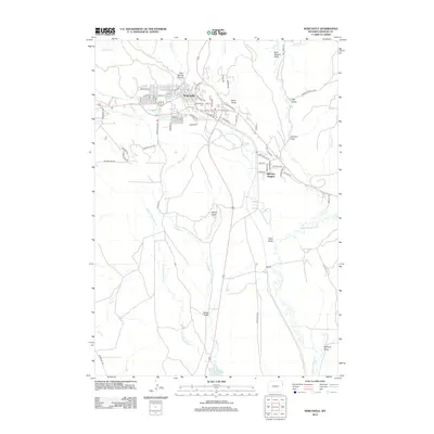
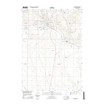
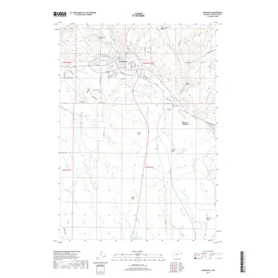
Historical Maps of Newcastle Through Time
11 maps found
1899 Newcastle
Weston County, WY
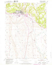
1901 Newcastle
Weston County, WY
1951 Newcastle
Weston County, WY
1955 Newcastle
Weston County, WY

1958 Newcastle
Weston County, WY
1958 Newcastle
Weston County, WY
1979 Newcastle
Weston County, WY
2012 Newcastle
Weston County, WY
2015 Newcastle
Weston County, WY
2017 Newcastle
Weston County, WY
2021 Newcastle
Weston County, WY