Loading...
Loading map...1918 Map of Moorcroft
USGS Topo · Published 1918About this map
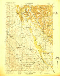
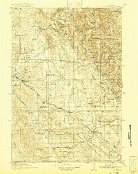
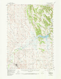
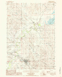
Moorcroft and Upton serve as the primary hubs on this survey of northeastern Wyoming, where the Chicago Burlington and Quincy railroad cuts a diagonal path through the landscape. The terrain is defined by prominent elevations like Thorn Ridge and the southern stretch of Pine Ridge, which dictate the flow of numerous drainages including the Belle Fourche River and Beaver Creek.
Find a feature on this map
72 named features on this map. Tap any name to fly to it.
Don’t see what you’re looking for? This feature index may not catch every label — zoom into the map to look around manually.
Map Details
Date Portrayed1918
Date Published1918
PublisherU.S. Geological Survey
Map TypeTopographic
Scale1:125,000
Physical Dimensions16.1 x 20.1 inches
Editions of this 1918 Moorcroft Map
2 editions found
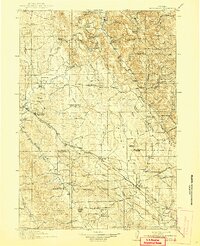
Historical Maps of Upton Through Time
5 maps found
Featured Locations
Source Details
SourceU.S. Geological Survey
CopyrightPublic Domain