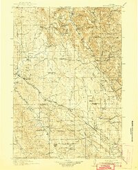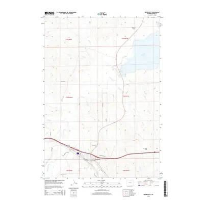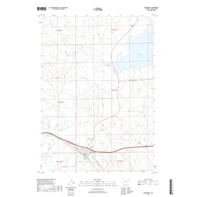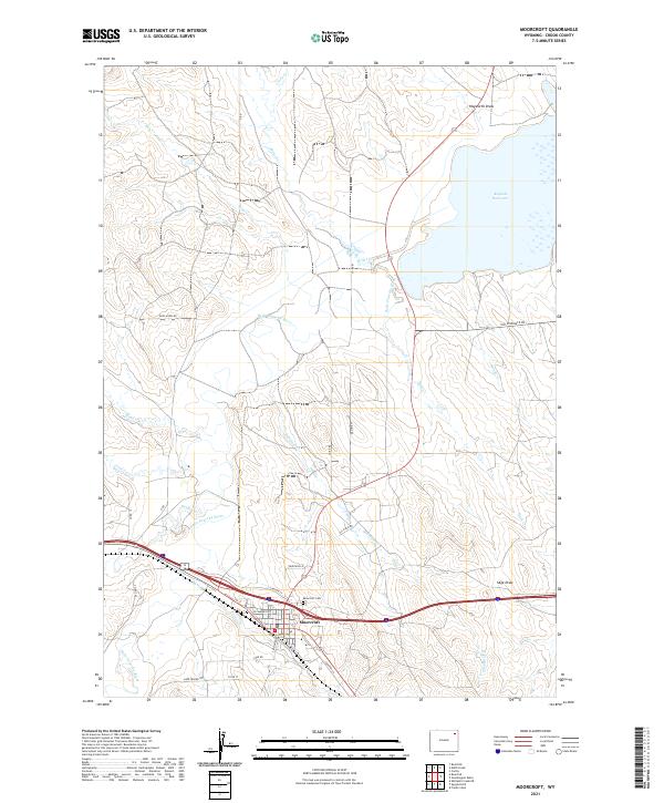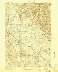
1918 Map of Moorcroft
USGS Topo · Published 1941About this map
The Chicago Burlington and Quincy Railroad defines the development of this northeastern Wyoming landscape, cutting a diagonal path through the high plains and connecting the settlements of Moorcroft, Thornton, and Upton. Surveyed in the mid-1910s, the map reveals a rural society built around cattle ranching and early dryland farming, evidenced by the dense network of country schools like Thompson School, Thorn Ridge School, and Soda Butte School distributed across the drainage basins of the Belle Fourche River and Inyan Kara Creek.
Find a feature on this map
64 named features on this map. Tap any name to fly to it.
Don’t see what you’re looking for? This feature index may not catch every label — zoom into the map to look around manually.
Map Details
Editions of this 1918 Moorcroft Map
This is the sole edition of this map. No revisions or reprints were ever made.
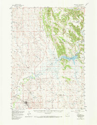
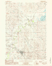
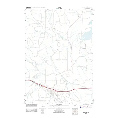
Historical Maps of Moorcroft Through Time
8 maps found