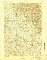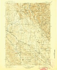
1918 Map of Moorcroft
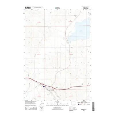
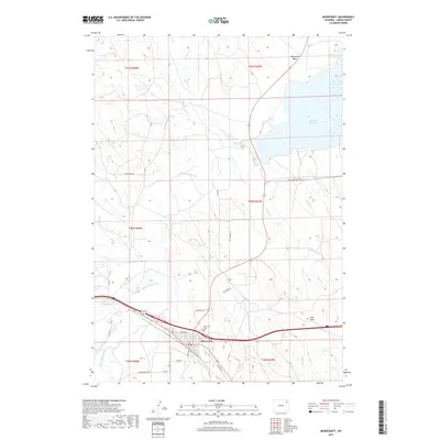
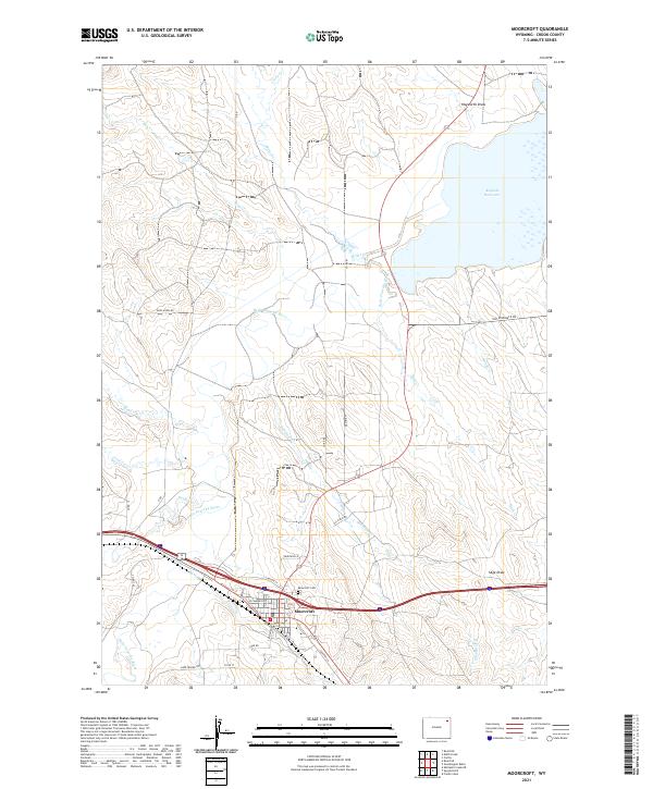
USGS Topo · Published 1941About this map
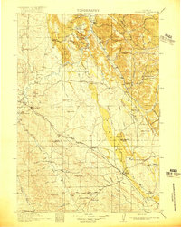
The Belle Fourche River snakes through the high plains of northeastern Wyoming in this record of early 20th-century settlement. This landscape, surveyed shortly before the United States entered the Great War, is defined by an extensive network of rural schools including the Thompson School, Ely School, and Thorn Ridge School, indicating a period of peak population for these ranching and dry-farming districts. The Chicago Burlington and Quincy Railroad provides the primary economic artery, connecting the established hubs of Moorcroft and Upton via the siding at Thornton. Transport across the river and ridges is documented through historic routes like the Black and Yellow Trail and the distinctively named Shipwheel Crossing. The map captures the transition across the Crook and Weston County line, where the terrain shifts from the prominent Thorn Ridge and Dakota Ridge down toward the drainages of Miller Creek and Donkey Creek.
Find a feature on this map
69 named features on this map. Tap any name to fly to it.
Don’t see what you’re looking for? This feature index may not catch every label — zoom into the map to look around manually.
Map Details
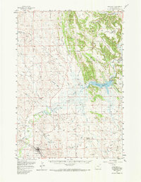
Editions of this 1918 Moorcroft Map
2 editions found
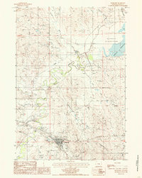
Historical Maps of Upton Through Time
8 maps found