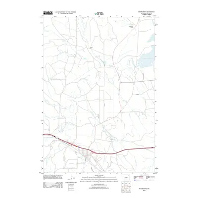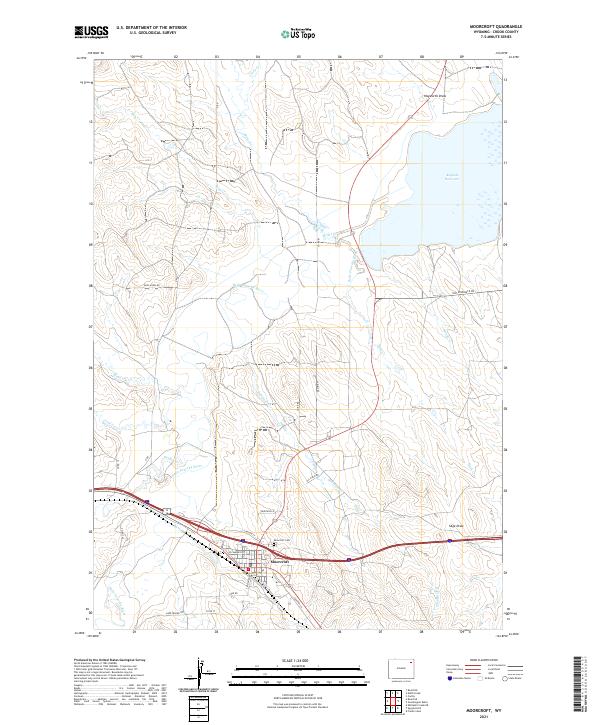
1984 Map of Moorcroft
USGS Topo · Published 1985About this map
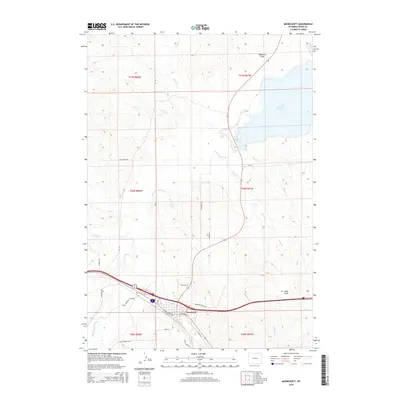
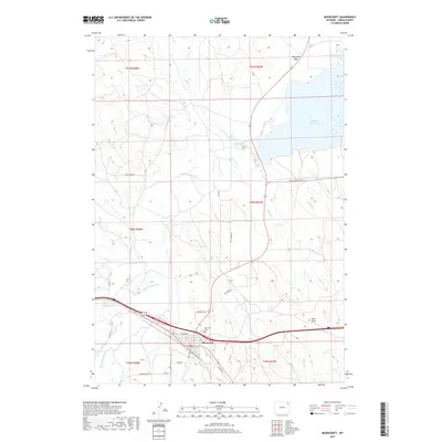
Moorcroft serves as the focal point of this northeastern Wyoming landscape, where the town’s residential grid and infrastructure meet the winding path of Donkey Creek. The 1984 survey reveals an economy deeply tied to the land, characterized by an extensive Oil Field and numerous gravel extractions, such as the Gravel Pit northwest of the main settlement. The physical geography is defined by the sharp meanders of the Belle Fourche River and its various tributaries, including Rush Creek and Smoke Creek.
Find a feature on this map
32 named features on this map. Tap any name to fly to it.
Don’t see what you’re looking for? This feature index may not catch every label — zoom into the map to look around manually.
Map Details
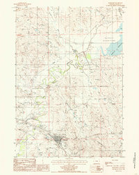
Editions of this 1984 Moorcroft Map
This is the sole edition of this map. No revisions or reprints were ever made.
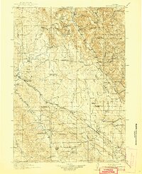
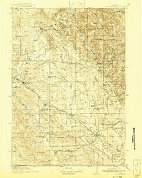
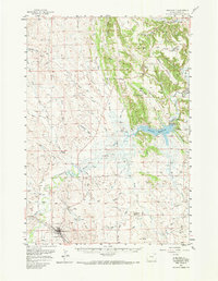
Historical Maps of Moorcroft Through Time
8 maps found