
1901 Map of Harney Peak
USGS Topo · Published 1901About this map
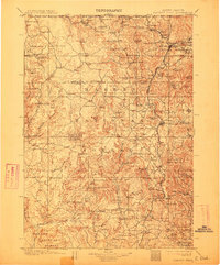
The Black Hills Forest Reserve dominates this landscape at the turn of the century, revealing an intensive era of extraction and early mountain tourism. Mining operations are concentrated near Hill City and Custer, including the Grizzly Bear Mine, Storm Hill Mine, and several mica and limekiln sites. The presence of the Sylvan Lake Hotel near Harney Peak indicates the area's nascent identity as a destination for travelers, even as the surrounding terrain remained a working landscape of ranches and mills.
Find a feature on this map
119 named features on this map. Tap any name to fly to it.
Don’t see what you’re looking for? This feature index may not catch every label — zoom into the map to look around manually.
Map Details
Editions of this 1901 Harney Peak Map
4 editions found
Other maps of this area

1893 · Rapid
USGS Topo · 1:125,000

1894 · Deadwood
USGS Topo · 1:125,000

1894 · Hermosa
USGS Topo · 1:125,000

1896 · Oelrichs
USGS Topo · 1:125,000

1896 · Harney Peak
USGS Topo · 1:125,000

1898 · Sundance
USGS Topo · 1:125,000

1898 · Rapid
USGS Topo · 1:125,000

1899 · Newcastle
USGS Topo · 1:125,000

1900 · Oelrichs
USGS Topo · 1:125,000

1901 · Hermosa
USGS Topo · 1:125,000