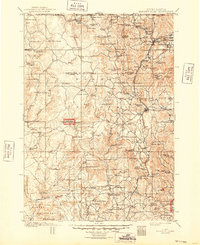
1901 Map of Harney Peak
USGS Topo · Published 1948About this map
Jewel Cave National Monument and the high granite peaks of the Black Hills dominate this 1901 survey, capturing a landscape of active extraction and early ranching. The map reveals an intricate network of mining operations clustered near the higher elevations, including the Storm Hill Mine, Grizzly Bear Mine, and Accidental Mine and Mill. These industrial sites appear alongside natural landmarks like Sylvan Lake and St. Elmo Peak.
Find a feature on this map
126 named features on this map. Tap any name to fly to it.
Don’t see what you’re looking for? This feature index may not catch every label — zoom into the map to look around manually.
Map Details
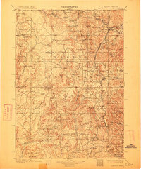
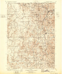
Editions of this 1901 Harney Peak Map
4 editions found

Other maps of this area

1893 · Rapid
USGS Topo · 1:125,000

1894 · Deadwood
USGS Topo · 1:125,000

1894 · Hermosa
USGS Topo · 1:125,000

1896 · Oelrichs
USGS Topo · 1:125,000

1896 · Harney Peak
USGS Topo · 1:125,000

1898 · Sundance
USGS Topo · 1:125,000

1898 · Rapid
USGS Topo · 1:125,000

1899 · Newcastle
USGS Topo · 1:125,000

1900 · Oelrichs
USGS Topo · 1:125,000

1901 · Hermosa
USGS Topo · 1:125,000