
1901 Map of Hermosa
USGS Topo · Published 1901About this map
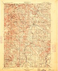
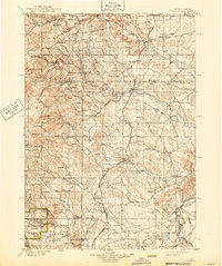
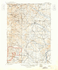
Mining operations and early frontier settlements define this survey of the eastern Black Hills Forest Res. during the late nineteenth-century gold and tin booms. The landscape is a complex network of gulches and peaks, where active industrial sites like the Etta Mine, Holy Smoke Mine, and the Old Smelter near Sheridan signal the region’s intensive mineral extraction. The rail infrastructure of the Elkhorn and Missouri Valley railroad follows the foothills, connecting the prairie settlements of Hermosa and Fairburn to the rugged interior camps of Keystone and Rockerville.
Find a feature on this map
64 named features on this map. Tap any name to fly to it.
Don’t see what you’re looking for? This feature index may not catch every label — zoom into the map to look around manually.
Map Details
Editions of this 1901 Hermosa Map
4 editions found
Other maps of this area

1893 · Rapid
USGS Topo · 1:125,000

1894 · Deadwood
USGS Topo · 1:125,000

1894 · Hermosa
USGS Topo · 1:125,000

1896 · Oelrichs
USGS Topo · 1:125,000

1896 · Harney Peak
USGS Topo · 1:125,000

1898 · Rapid
USGS Topo · 1:125,000

1900 · Oelrichs
USGS Topo · 1:125,000

1901 · Harney Peak
USGS Topo · 1:125,000

1901 · Deadwood
USGS Topo · 1:125,000

1902 · Edgemont
USGS Topo · 1:125,000