
1900 Map of Oelrichs
USGS Topo · Published 1900About this map
Hot Springs serves as a prominent gateway to the Black Hills on this late 19th-century survey, flanked by Battle Mtn and the waters of Hot Brook and Cold Brook. The local economy of the 1890s is clearly visible through the industrial presence of the Elm Creek Quarry and Evans Quarry, both positioned to leverage the transportation corridor of the Missouri Valley and Elkhorn RR. The rail line threads North-South through the territory, connecting established stops like Buffalo Gap, Oral, and Oelrichs.
Find a feature on this map
43 named features on this map. Tap any name to fly to it.
Don’t see what you’re looking for? This feature index may not catch every label — zoom into the map to look around manually.
Map Details
Editions of this 1900 Oelrichs Map
4 editions found
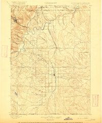
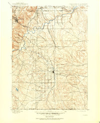
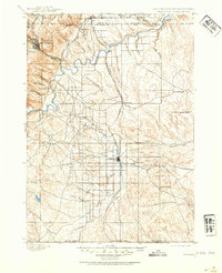
Other maps of this area

1894 · Hermosa
USGS Topo · 1:125,000

1896 · Oelrichs
USGS Topo · 1:125,000

1896 · Harney Peak
USGS Topo · 1:125,000

1901 · Hermosa
USGS Topo · 1:125,000

1901 · Harney Peak
USGS Topo · 1:125,000

1902 · Edgemont
USGS Topo · 1:125,000

1950 · Hot Springs
USGS Topo · 1:24,000

1950 · Buffalo Gap
USGS Topo · 1:24,000

1950 · Heppner
USGS Topo · 1:24,000

1950 · Cascade Springs
USGS Topo · 1:24,000