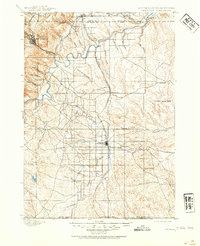
1900 Map of Oelrichs
USGS Topo · Published 1954About this map
Hot Springs stands as a primary hub in the northwest corner of this late-19th-century landscape, where the topography transitions from the steep canyons of Battle Mtn. and Wall Canyon into the lower drainages of the Cheyenne River. The 1893 surveying work by T.M. Bannon reveals a territory defined by early ranching and industrial extraction, most notably at the Elm Creek Quarry and widespread operations like Warrens Ranch and Sickels Ranch.
Find a feature on this map
46 named features on this map. Tap any name to fly to it.
Don’t see what you’re looking for? This feature index may not catch every label — zoom into the map to look around manually.
Map Details
Editions of this 1900 Oelrichs Map
4 editions found
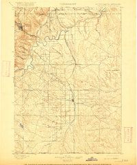
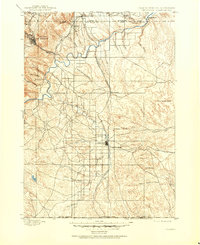
Other maps of this area

1894 · Hermosa
USGS Topo · 1:125,000

1896 · Oelrichs
USGS Topo · 1:125,000

1896 · Harney Peak
USGS Topo · 1:125,000

1900 · Oelrichs
USGS Topo · 1:125,000

1901 · Hermosa
USGS Topo · 1:125,000

1901 · Harney Peak
USGS Topo · 1:125,000

1902 · Edgemont
USGS Topo · 1:125,000

1950 · Hot Springs
USGS Topo · 1:24,000

1950 · Buffalo Gap
USGS Topo · 1:24,000

1950 · Heppner
USGS Topo · 1:24,000