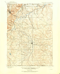
1900 Map of Oelrichs
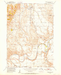
USGS Topo · Published 1954About this map
Hot Springs serves as the focal point of this late 19th-century survey, situated where the terrain transitions from the foothills of Battle Mtn. and Gypsum Butte toward the prairie floor. The development of the region is defined by the route of the Fremont Elkhorn and Missouri Valley railroad, which links the settlements of Buffalo Gap, Smithwick, and Oelrichs. This rail corridor follows the natural drainage of the Cheyenne River and its tributaries, providing the vital transportation link for local industry, including the Elm Creek Quarry and Evans Quarry.
Find a feature on this map
47 named features on this map. Tap any name to fly to it.
Don’t see what you’re looking for? This feature index may not catch every label — zoom into the map to look around manually.
Map Details
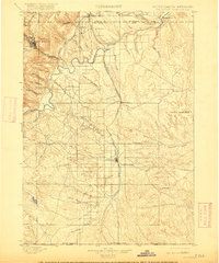
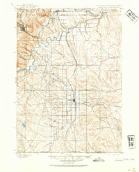
Editions of this 1900 Oelrichs Map
4 editions found
Other maps of this area

1894 · Hermosa
USGS Topo · 1:125,000

1896 · Oelrichs
USGS Topo · 1:125,000

1896 · Harney Peak
USGS Topo · 1:125,000

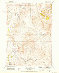
1900 · Oelrichs
USGS Topo · 1:125,000

1901 · Hermosa
USGS Topo · 1:125,000

1901 · Harney Peak
USGS Topo · 1:125,000

1902 · Edgemont
USGS Topo · 1:125,000
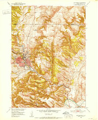
1950 · Hot Springs
USGS Topo · 1:24,000
1950 · Buffalo Gap
USGS Topo · 1:24,000
1950 · Heppner
USGS Topo · 1:24,000