
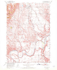
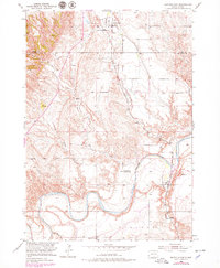
1950 Map of Buffalo Gap
USGS Topo · Published 1952About this map
Buffalo Gap sits at the northern edge of this mid-century survey, a point where the prairie meets the rising elevation of the Custer and Fall River County line. The Chicago and North Western railroad provides the primary industrial spine of the region, running south past the small community of Oral. This landscape is defined by the winding course of the Cheyenne River, which carves a deep path across the southern half of the map, joined by tributaries like Beaver Creek and Spring Creek. The distribution of local institutions reveals the era's rural life, from active schools like Falls Sch and Fairview Sch to the Friedrick Sch, which was already noted as abandoned by 1950. Several burial grounds, including the Buffalo Gap Cem and Hines Cem, provide critical points of interest for those tracing family history in this corner of South Dakota.
Find a feature on this map
19 named features on this map. Tap any name to fly to it.
Don’t see what you’re looking for? This feature index may not catch every label — zoom into the map to look around manually.
Map Details
Editions of this 1950 Buffalo Gap Map
3 editions found
Other maps of this area

1894 · Hermosa
USGS Topo · 1:125,000

1896 · Oelrichs
USGS Topo · 1:125,000

1900 · Oelrichs
USGS Topo · 1:125,000

1901 · Hermosa
USGS Topo · 1:125,000

1950 · Hot Springs
USGS Topo · 1:24,000

1950 · Hot Springs SE
USGS Topo · 1:24,000

1950 · Angostura Reservoir
USGS Topo · 1:24,000

1951 · Smithwick NW
USGS Topo · 1:24,000

1955 · Hot Springs
USGS Topo · 1:250,000
1957 · Wind Cave
USGS Topo · 1:24,000