
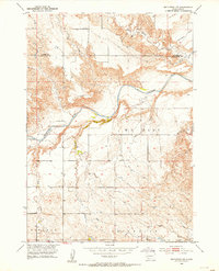
1951 Map of Smithwick NW
USGS Topo · Published 1953About this map
The Cheyenne River winds through the heart of this 1951 landscape, carving a deep valley that separates the high plateaus of Harrison Flat to the north from the expansive W G Flat to the south. This terrain is characterized by dramatic elevation changes where the river and its tributaries, including Lame Johnny Creek and Plumb Creek, have etched complex drainage patterns into the South Dakota soil.
Find a feature on this map
10 named features on this map. Tap any name to fly to it.
Don’t see what you’re looking for? This feature index may not catch every label — zoom into the map to look around manually.
Map Details
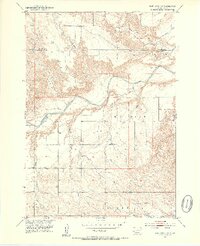
Editions of this 1951 Smithwick NW Map
3 editions found
Other maps of this area

1894 · Hermosa
USGS Topo · 1:125,000

1896 · Oelrichs
USGS Topo · 1:125,000

1900 · Oelrichs
USGS Topo · 1:125,000

1901 · Hermosa
USGS Topo · 1:125,000

1950 · Buffalo Gap
USGS Topo · 1:24,000

1950 · Hot Springs SE
USGS Topo · 1:24,000

1951 · Fairburn SE
USGS Topo · 1:24,000

1951 · Smithwick NE
USGS Topo · 1:24,000

1955 · Hot Springs
USGS Topo · 1:250,000
1957 · Boland Ridge
USGS Topo · 1:24,000