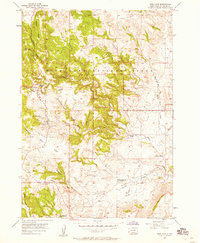
1957 Map of Wind Cave
USGS Topo · Published 1958About this map
Wind Cave National Park dominates this mid-century survey, showcasing the complex topography of the Black Hills shortly after aerial surveys were conducted in 1954. The map provides a detailed view of the surface features above the subterranean cave system, including the Wind Cave entrance and Park Headquarters. The landscape is defined by dramatic limestone formations and ridges, with Rankin Ridge and Highland Ridge providing significant elevation.
Find a feature on this map
31 named features on this map. Tap any name to fly to it.
Don’t see what you’re looking for? This feature index may not catch every label — zoom into the map to look around manually.
Map Details
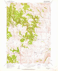
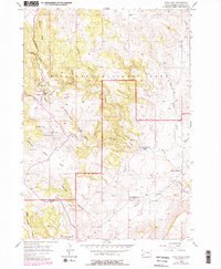
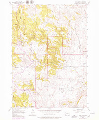
Editions of this 1957 Wind Cave Map
4 editions found
Other maps of this area

1894 · Hermosa
USGS Topo · 1:125,000

1896 · Oelrichs
USGS Topo · 1:125,000

1896 · Harney Peak
USGS Topo · 1:125,000

1900 · Oelrichs
USGS Topo · 1:125,000

1901 · Hermosa
USGS Topo · 1:125,000

1901 · Harney Peak
USGS Topo · 1:125,000

1902 · Edgemont
USGS Topo · 1:125,000

1950 · Hot Springs
USGS Topo · 1:24,000

1950 · Buffalo Gap
USGS Topo · 1:24,000

1951 · Minnekahta NE
USGS Topo · 1:24,000