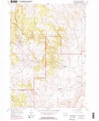
1957 Map of Wind Cave
USGS Topo · Published 1979About this map
Wind Cave National Park is documented in this survey shortly after mid-century, revealing the complex topography of the Southern Black Hills before extensive modern development. The map centers on the subterranean Wind Cave system, while the surface is defined by prominent landmarks such as Elk Mountain and the expansive Bison Flats. This era of the park reflects a landscape still closely tied to local ranching history, evidenced by the Sanson Ranch and the presence of the Martin Valley Sch (Abandoned) in Martin Valley.
Find a feature on this map
24 named features on this map. Tap any name to fly to it.
Don’t see what you’re looking for? This feature index may not catch every label — zoom into the map to look around manually.
Map Details
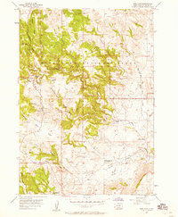
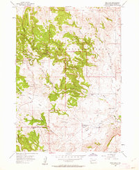
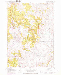
Editions of this 1957 Wind Cave Map
4 editions found
Other maps of this area

1894 · Hermosa
USGS Topo · 1:125,000

1896 · Oelrichs
USGS Topo · 1:125,000

1896 · Harney Peak
USGS Topo · 1:125,000

1900 · Oelrichs
USGS Topo · 1:125,000

1901 · Hermosa
USGS Topo · 1:125,000

1901 · Harney Peak
USGS Topo · 1:125,000

1902 · Edgemont
USGS Topo · 1:125,000

1950 · Hot Springs
USGS Topo · 1:24,000

1950 · Buffalo Gap
USGS Topo · 1:24,000

1951 · Minnekahta NE
USGS Topo · 1:24,000