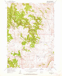
1957 Map of Wind Cave
USGS Topo · Published 1962About this map
Wind Cave National Park is defined by its complex network of ridges and canyons, where the Black Hills transition from high peaks to the prairie floor. In the late 1950s, the park's administrative center at the Wind Cave Park Headquarters served as the primary gateway to the subterranean world, while the surface remained a landscape of active and quieted human occupation. South of the park boundary, the valley landscape reflects the area's ranching heritage, with private holdings like the Sanson Ranch, Streeter Ranch, and the 7-11 Ranch following the watercourses of Beaver Creek and its tributaries. A notable marker of shifting local demographics is the Martin Valley Sch (Abandoned), located near the southern edge of the survey, which suggests the consolidation of rural education as the mid-century progressed.
Find a feature on this map
31 named features on this map. Tap any name to fly to it.
Don’t see what you’re looking for? This feature index may not catch every label — zoom into the map to look around manually.
Map Details
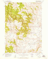
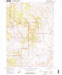
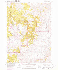
Editions of this 1957 Wind Cave Map
4 editions found
Other maps of this area

1894 · Hermosa
USGS Topo · 1:125,000

1896 · Oelrichs
USGS Topo · 1:125,000

1896 · Harney Peak
USGS Topo · 1:125,000

1900 · Oelrichs
USGS Topo · 1:125,000

1901 · Hermosa
USGS Topo · 1:125,000

1901 · Harney Peak
USGS Topo · 1:125,000

1902 · Edgemont
USGS Topo · 1:125,000

1950 · Hot Springs
USGS Topo · 1:24,000

1950 · Buffalo Gap
USGS Topo · 1:24,000

1951 · Minnekahta NE
USGS Topo · 1:24,000