
1950 Map of Angostura Reservoir
USGS Topo · Published 1952About this map
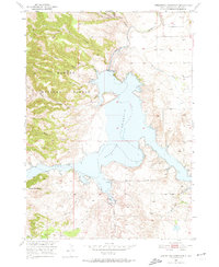
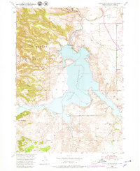
Angostura Reservoir dominates this landscape, reflecting a pivotal era of Missouri River Basin development in the early 1950s. The map captures the newly formed impoundment of the Cheyenne River, with the Angostura Dam Spillway 3198 positioned at the reservoir's northern neck. This infrastructure was part of a larger federal program to manage water resources in South Dakota, dramatically altering the local geography of canyons and draws.
Find a feature on this map
20 named features on this map. Tap any name to fly to it.
Don’t see what you’re looking for? This feature index may not catch every label — zoom into the map to look around manually.
Map Details
Editions of this 1950 Angostura Reservoir Map
3 editions found
Other maps of this area

1896 · Oelrichs
USGS Topo · 1:125,000

1900 · Oelrichs
USGS Topo · 1:125,000

1902 · Edgemont
USGS Topo · 1:125,000

1950 · Hot Springs
USGS Topo · 1:24,000

1950 · Buffalo Gap
USGS Topo · 1:24,000

1950 · Heppner
USGS Topo · 1:24,000

1950 · Cascade Springs
USGS Topo · 1:24,000

1950 · Hot Springs SE
USGS Topo · 1:24,000

1951 · Minnekahta NE
USGS Topo · 1:24,000

1955 · Hot Springs
USGS Topo · 1:250,000