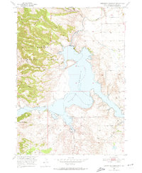
1950 Map of Angostura Reservoir
USGS Topo · Published 1974About this map
Angostura Reservoir dominates this landscape, having recently transformed the valley where the Cheyenne River meets its tributaries. This 1950 field check captures the area just after the completion of the Angostura Dam Spillway 3198, part of the Missouri River Basin project. The reservoir’s rising waters reach into the deep draws of Horse Camp Draw and the rugged canyons of the western shore, including Red Canyon and Adams Canyon.
Find a feature on this map
20 named features on this map. Tap any name to fly to it.
Don’t see what you’re looking for? This feature index may not catch every label — zoom into the map to look around manually.
Map Details
Editions of this 1950 Angostura Reservoir Map
3 editions found
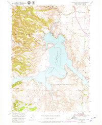
Other maps of this area

1896 · Oelrichs
USGS Topo · 1:125,000

1900 · Oelrichs
USGS Topo · 1:125,000

1902 · Edgemont
USGS Topo · 1:125,000

1950 · Hot Springs
USGS Topo · 1:24,000

1950 · Buffalo Gap
USGS Topo · 1:24,000

1950 · Heppner
USGS Topo · 1:24,000

1950 · Cascade Springs
USGS Topo · 1:24,000

1950 · Hot Springs SE
USGS Topo · 1:24,000

1950 · Angostura Reservoir
USGS Topo · 1:24,000

1951 · Minnekahta NE
USGS Topo · 1:24,000