
1950 Map of Cascade Springs
USGS Topo · Published 1952About this map
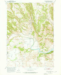
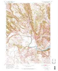
The Cheyenne River winds through this 1950 South Dakota landscape, where the recently developed Angostura Reservoir meets a network of rugged canyons and natural springs. This survey records an essential moment in local education and land use, documenting the Brainerd Indian Training School along with scattered rural schoolhouses like Sheps Canyon Sch and Coffee Flat Sch. The territory is defined by its water sources, from the namesake Cascade Springs and Cascade Falls to more remote sites like Bridal Veil Spring and Cool Spring. These features supported the early ranching and agricultural operations found on Sorghum Flat and Coffee Flat. High points such as Flagpole Mountain and Roundtop Hill overlook a complex topography of named drainages, including Whaley Canyon and Hell Canyon, within the eastern reaches of the Harney National Forest.
Find a feature on this map
41 named features on this map. Tap any name to fly to it.
Don’t see what you’re looking for? This feature index may not catch every label — zoom into the map to look around manually.
Map Details
Editions of this 1950 Cascade Springs Map
Other maps of this area

1896 · Oelrichs
USGS Topo · 1:125,000

1900 · Oelrichs
USGS Topo · 1:125,000

1902 · Edgemont
USGS Topo · 1:125,000

1950 · Hot Springs
USGS Topo · 1:24,000

1950 · Heppner
USGS Topo · 1:24,000

1950 · Angostura Reservoir
USGS Topo · 1:24,000

1950 · Rumford
USGS Topo · 1:24,000

1950 · Minnekahta
USGS Topo · 1:24,000

1950 · Flint Hill
USGS Topo · 1:24,000

1951 · Minnekahta NE
USGS Topo · 1:24,000